Catalog Archive
Auction 152, Lot 362

"A New and Accurate Map of Paraguay, Rio de la Plata, Tucumania Guaria &c. Laid Down from the Latest Improvements, and Regulated by Astronomical Observations", Bowen, Emanuel

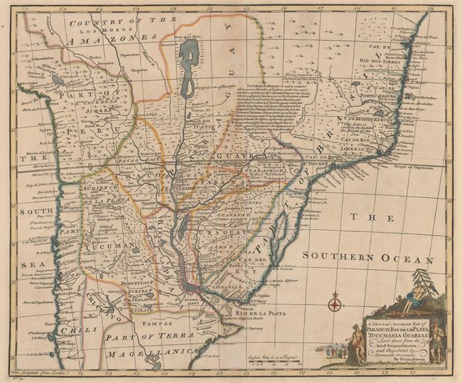
Subject: Central South America

Period: 1747 (published)

Publication: A Complete System of Geography

Color: Hand Color

Size:
16.7 x 13.9 inches
42.4 x 35.3 cm
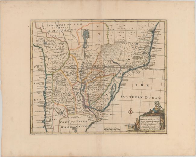
Download High Resolution Image
(or just click on image to launch the Zoom viewer)

This handsome map extends from central Brazil to south of the Rio de la Plata, encompassing present-day Bolivia, Paraguay, Uruguay, and parts of Chile and Argentina. The political boundaries of the mid-18th century are shown, along with towns, rivers, and notations throughout. The mythical Lake of Xarayes is depicted at top. The map is adorned with a handsome title cartouche featuring Natives, monkeys, and an alligator, with Europeans on the beach in the distance.

References: Shirley (BL Atlases) T.BOW-2a #53.

Condition: B+

Watermarked paper with wide margins, original outline color in the map and later coloring in the cartouche. There is light toning along the centerfold.

Estimate: $275 - $350

Sold for: $140

Closed on 2/18/2015

Archived