Subject: Washington
Period: 1889 (published)
Publication:
Color:
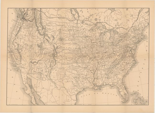
This pair of maps was included in William Henry Ruffner's A Report on Washington Territory published in 1889. The report (not included) described the region's economic potential and the impact the railroad network would have on its prosperity.
A. Map No. 1. Washington Territory Showing Lines of the Seattle, Lake Shore and Eastern Railway, printed color (28.7 x 22.6"). Prominently shows railroad lines from Seattle north to Vancouver and east to Spokane and wheat growing regions shaded in pink. Provides excellent detail of topography and the coastline.
B. [Untitled Map of North America], black & white (20.3 x 13.9"). This untitled map depicts the railroad network in Washington Territory, and strategically linking it to the Canadian Pacific Railway and its line back to the east.
References:
Condition: B+
Pleasant faint toning and several tiny splits at fold intersections.