Catalog Archive
Auction 152, Lot 216

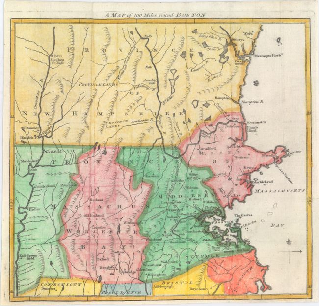
"A Map of 100 Miles Round Boston", Anon.
Subject: Massachusetts

Period: 1775 (circa)

Publication: Gentleman's Magazine

Color: Hand Color

Size:
9.6 x 8.9 inches
24.4 x 22.6 cm
Download High Resolution Image
(or just click on image to launch the Zoom viewer)

Interesting and very early Revolutionary War map extending to the Connecticut River in the west and York and Fort Stephen in the north. The map was issued in June 1775 at the outbreak of hostilities and was intended to inform the British public of the situation. There is nice detail of watershed and topography, and numerous towns, cities, and forts are located.

References: Jolly #GENT-234.

Condition: A

Issued folding, now flat, on a watermarked sheet with faint offsetting. Narrow bottom margin.

Estimate: $240 - $300

Sold for: $150

Closed on 2/18/2015

Archived