Catalog Archive
Auction 152, Lot 213

"Indiana", Finley, Anthony
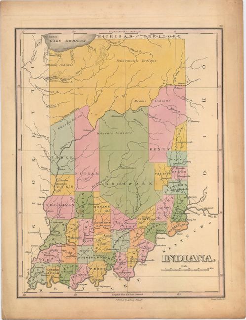
Subject: Indiana

Period: 1824 (published)

Publication: A New General Atlas

Color: Hand Color

Size:
8.6 x 11 inches
21.8 x 27.9 cm
Download High Resolution Image
(or just click on image to launch the Zoom viewer)

Fine early map of the state with only 38 counties. The top third of the state is unorganized beyond the Wabash River and the Indian Boundary with reference to Ottaway, Miami, Delaware, and Pottawatomie Indians. The detailed map shows the roads, towns and settlements with most of the settlements and roads in the lower third of the state. Finely engraved by Young & Delleker.

References:

Condition: B+

Attractive original color with one small spot and very faint offsetting.

Estimate: $200 - $240

Sold for: $150

Closed on 2/18/2015

Archived