Catalog Archive
Auction 152, Lot 202

"Washington and Vicinity", U.S. Geological Survey (USGS)

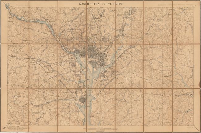
Subject: Washington, D.C.

Period: 1898 (dated)

Publication:

Color: Printed Color

Size:
30 x 19.9 inches
76.2 x 50.5 cm
Download High Resolution Image
(or just click on image to launch the Zoom viewer)

This topographical map covers the greater Washington, D.C. region from Silver Spring, MD south to Alexandria, VA and from Falls Church, VA east to Upper Marlboro, MD. The grid plans of Washington and Alexandria are depicted in very good detail, and in less dense areas, individual buildings are shown. Topography is represented through the use of contour lines at 20 foot intervals. Published under the direction of Charles D. Walcott. Dissected and backed with brown linen.

References:

Condition: B+

The map has uniform light toning and one small stain in the right blank margin. An attractive example.

Estimate: $100 - $130

Sold for: $100

Closed on 2/18/2015

Archived