Catalog Archive
Auction 152, Lot 159

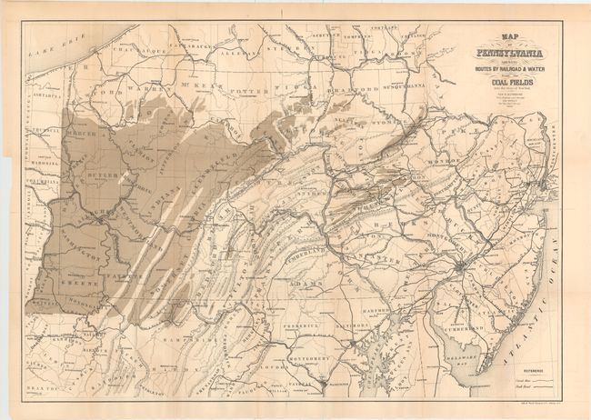
"Map of Pennsylvania Shewing Routes by Railroad & Water from the Coal Fields into the State of New York", Sweet, S.H.

Subject: Mid-Atlantic United States

Period: 1868 (dated)

Publication: New York State Canal Commissioner's Report

Color: Printed Color

Size:
30 x 21 inches
76.2 x 53.3 cm
Download High Resolution Image
(or just click on image to launch the Zoom viewer)

Early map showing the rich coal fields in Pennsylvania, West Virginia, and Maryland. Depicts the expansive railroad network linking the natural resources to urban areas including the lines of the Pennsylvania Central, Pittsburgh & Connelsville, and Central Ohio Rail Road. Issued in the New York State Canal Commissioners Report of 1869.

References:

Condition: B+

An attractive example, issued folding, with light color offsetting.

Estimate: $110 - $140

Sold for: $70

Closed on 2/18/2015

Archived