Subject: Eastern Canada
Period: 1759 (published)
Publication: London Magazine
Color: Black & White
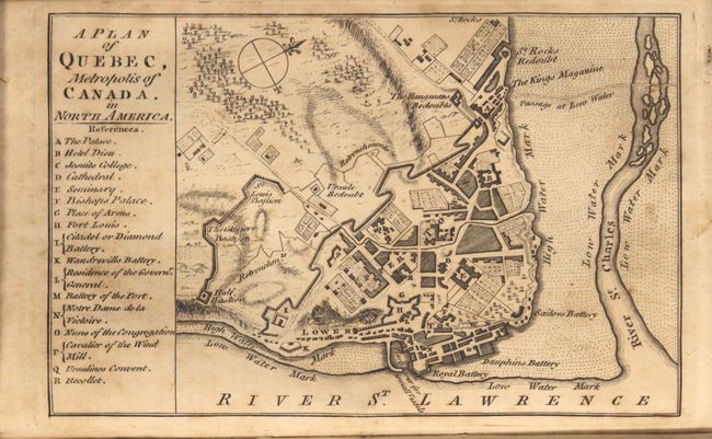
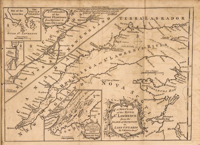
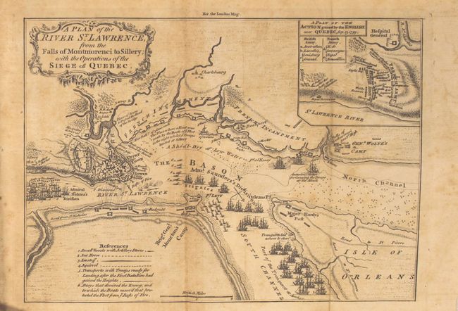
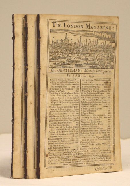
This lot contains three maps pertaining to the North American theater of the Seven Years War, published in the April, September and November 1759 issues of the London Magazine. The maps, still bound in the text, include:
A. A Plan of Quebec, Metropolis of Canada. In North America, by Anonymous (7.1 x 4.6"). Depicts the fortified city along the St. Lawrence River. A key at left identifies 17 strategic locations in the city including the palace, cathedral, citadel and several batteries.
B. A New Chart of the River St. Lawrence from the Island of Anticosti to Lake Ontario, by Thomas Kitchin (10.1 x 7.3"). This two-part map elaborates on navigational hazards in the St. Lawrence River. The main map, the smaller continuation from Quebec to Lake Ontario, and inset of "The Traverse or Passage from Cape Torment into the South Channel of Orleans Isle" are each adorned with fine, decorative cartouches. Additional insets of the Bay of Seven Islands and Lake Champlain have their own compass roses.
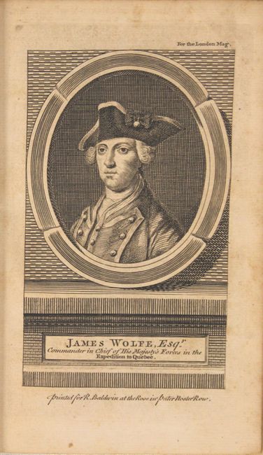
C. A Plan of the River St. Lawrence, from the Falls of Montmorenci to Sillery; with the Operations of the Siege of Quebec, by Anonymous (9.6 x 7.0"). This is a very detailed engraved map of the siege of Quebec during the French and Indian War of 1759. The map shows the positions of the two opposing forces with numerous war ships in the river surrounding the city. Admiral Holme's Division is upstream with Admiral Saunder's Division to the east and also up the South Channel. Locates the HMS Centurion in the North Channel just below General Wolfe's land based camp near the Falls of Montmoreenci. At upper right is a "Plan of the Action gained by the English near Quebec, Sep. 13, 1759." Fancy rococo-style title cartouche.
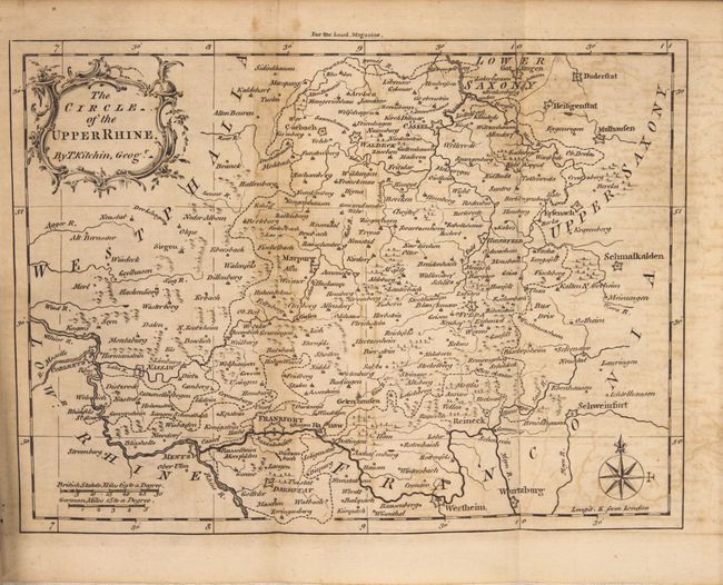
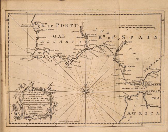
Also included in the lot are the maps The Circle of the Upper Rhine and A Chart of the Straits of Gibraltar... by Thomas Ktichin.
References: Jolly #LOND-163, 164, 174, 175, and 178.
Condition: B
The maps are lightly toned with scattered foxing and light offsetting. Disbound text is good with scattered foxing.


