Subject: Atlases
Period: 1867-75 (published)
Publication:
Color: Hand Color
Size:
9.6 x 11.8 inches
24.4 x 30 cm
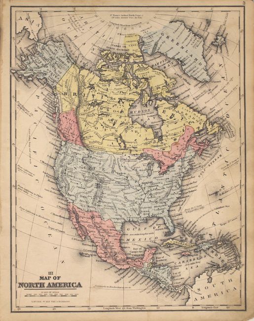
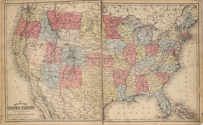
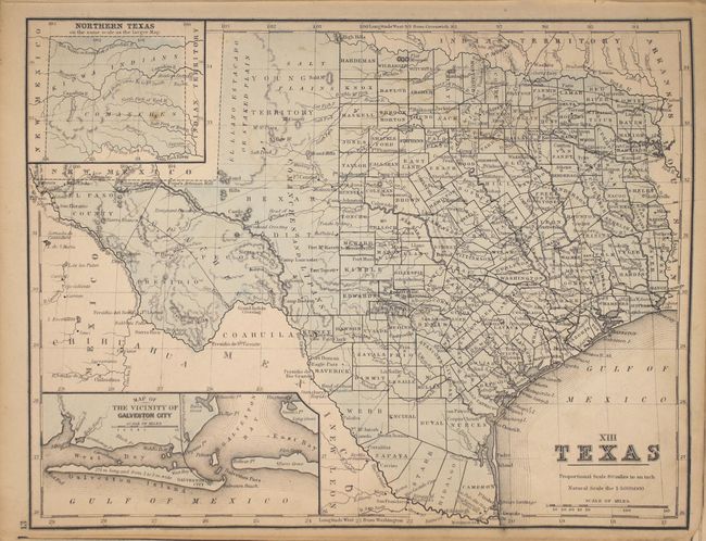
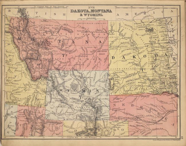
A. Mitchell's Modern Atlas: A Series of Forty-Four Copperplate Maps, Compiled from the Great Atlases..., published 1875. This world atlas contains 15 maps of US interest including the United States and "XIII Texas." The 44 maps are hand colored and printed on both sides. Hardbound with pictorial paper over boards featuring children on a hillside overlooking a small sea village with erupting volcano. Condition: Overall light toning and soiling with the United States map severed in half. Several other maps in the first third of the atlas have short fold separations at bottom. The front cover is detached which has the endpapers and title page attached along the hinge with paper tape. Covers heavily worn and soiled. (C+)
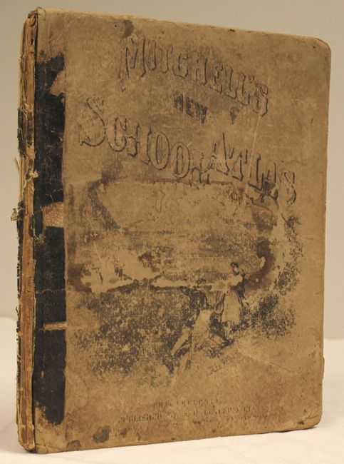
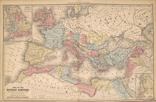
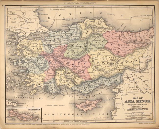
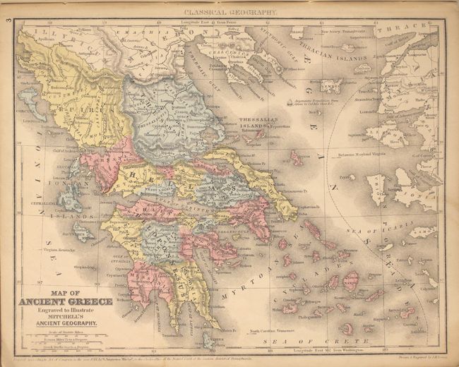
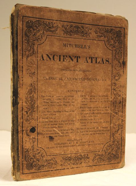
B. Mitchell's Ancient Atlas, Classical and Sacred, Containing Maps Illustrating the Geography of the Ancient World, as Described by the Writers of Antiquity..., published 1867. Contains 12 maps on six sheets including a double-page map of the Roman Empire. Other maps include Ancient Italy, Ancient Greece and Asia Minor. Includes a 12-page index. Condition: Generally good to very good with light toning. The map of the Roman Empire has a 2" fold separation at bottom and two other sheets have 1.5" edge tears at bottom. Covers are rubbed with a few small stains and are nearly detached. (B)
References:
Condition:
See description above.