Catalog Archive
Auction 151, Lot 522

"S.R.I. Circulus Rhenanus Inferior sive Electorum Rheni Complectens Tres Archiepiscopatus, Moguntinum Coloniensem et Trevirensem Palatinatum Rheni...", Homann, Johann Baptist

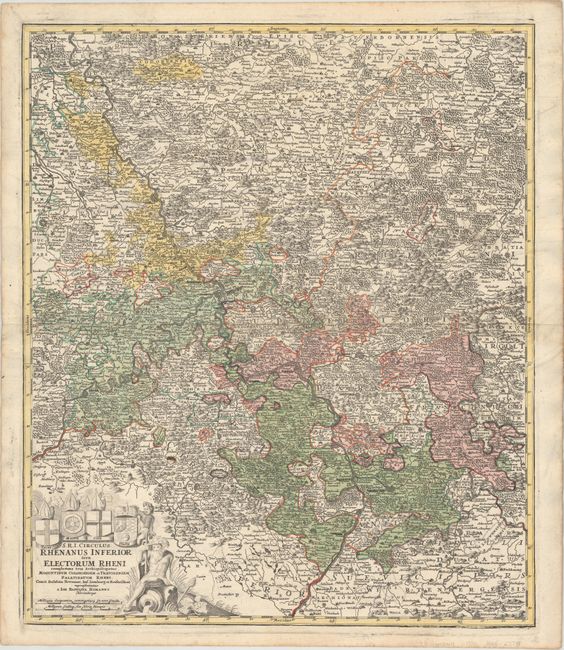
Subject: Western Germany

Period: 1720 (circa)

Publication:

Color: Hand Color

Size:
19.4 x 23 inches
49.3 x 58.4 cm
Download High Resolution Image
(or just click on image to launch the Zoom viewer)

This highly detailed map of central Germany follows the Rhine River from the French border to beyond Dusseldorf. The Moselle River also dominates the landscape through Trier. Centered on the region of Frankfort and Nassaw, the map extends to include the walled cities of Wesel, Munden, Stuttgart, Sar Louis, Heidelberg, Aken, and Mulhein. A nice title cartouche is surrounded by figures and the crests of the cities of Trier, Maintz, Coln, and Pfaltz.

References:

Condition: B

There are several small cracks that have been backed on verso with paper. Some of the city names have been underlined in black ink and there are a few small spots in the image as well as minor soiling mostly confined to the blank margins.

Estimate: $180 - $220

Unsold

Closed on 11/19/2014

Archived