Catalog Archive
Auction 151, Lot 503
"Gallia Vetus", Bonne, Rigobert
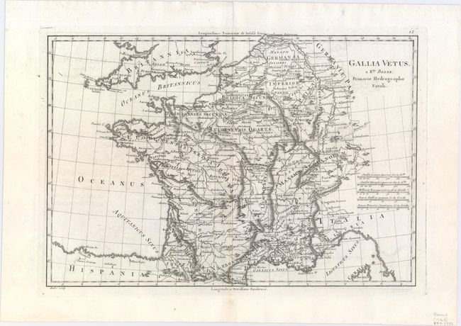
Subject: France
Period: 1788 (circa)
Publication: Atlas Encyclopedique
Color: Black & White
Size:
13.6 x 9.4 inches
34.5 x 23.9 cm
Download High Resolution Image
(or just click on image to launch the Zoom viewer)
(or just click on image to launch the Zoom viewer)