Subject: Cartographic Miscellany - Puzzle Maps
Period: 1875 (circa)
Publication:
Color: Printed Color
Size:
11.5 x 9.6 inches
29.2 x 24.4 cm
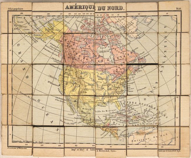
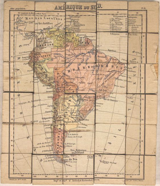
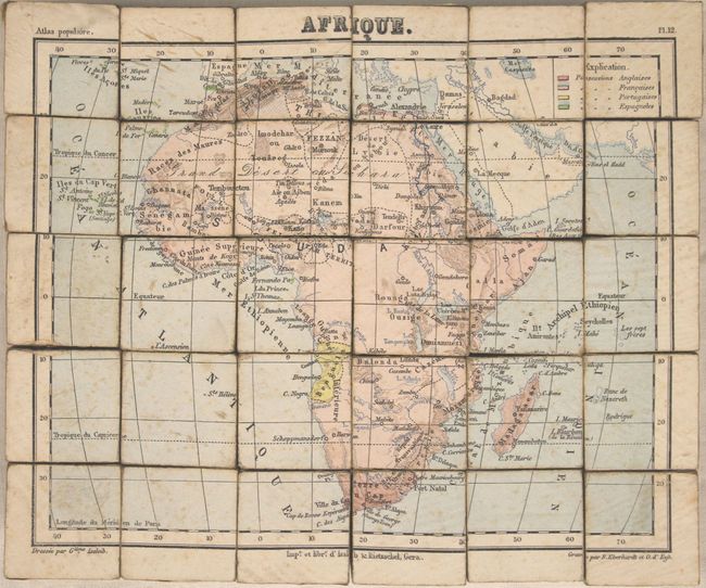
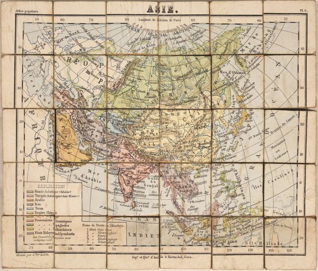
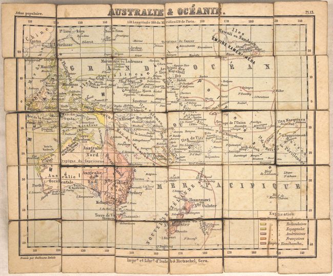
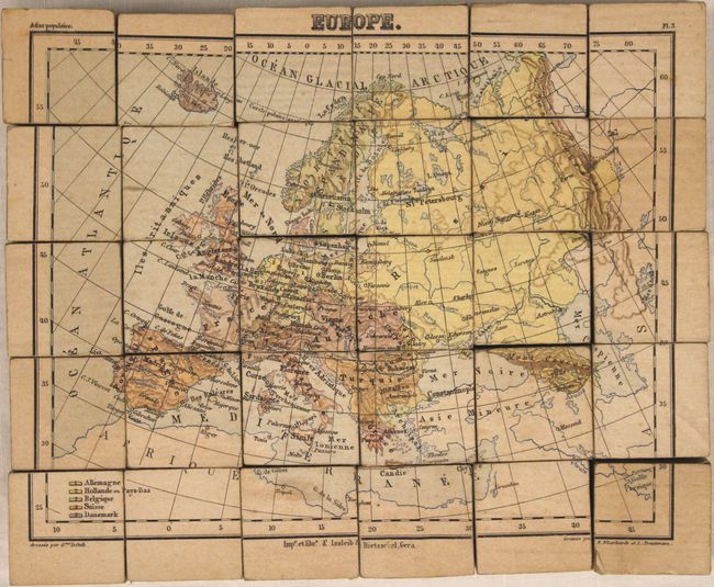
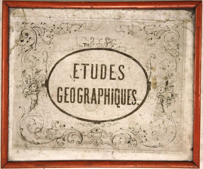
This extraordinary and complete puzzle consists of six maps which are on the face of 30 wooden cubes. The cubes neatly fit into the original wooden box with decorative paper label on top. Included with the puzzle are the six sample maps to assist in putting the puzzle together. These guides lay in the top of the box, held in place with a woven white string. When assembled correctly, the cubes make the following maps of the continents:
A. Amerique du Nord
B. Amerique du Sud
C. Afrique
D. Asie
E. Australie & Oceanie
F. Europe
A rare cartographic curiosity that has survived very well given its purpose as a game.
References:
Condition: B+
The puzzle pieces are good to very good with some light soiling and staining as to be expected. The sample maps have scattered foxing and soiling more prevalent in the maps of the Americas. The box has a little shelf wear along the sides and the paper title aid on the top of the box is moderately soiled and stained.