Catalog Archive
Auction 151, Lot 345
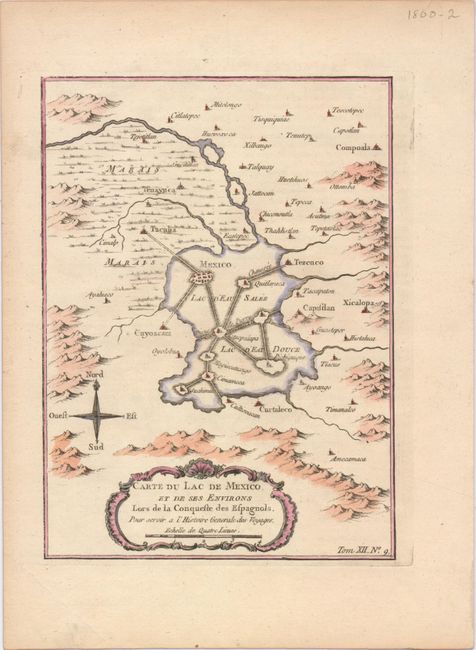
"Carte du Lac de Mexico, et de ses Environs Lors de la Conqueste des Espagnols…", Bellin, Jacques Nicolas

Subject: Mexico City, Mexico
Period: 1754 (circa)
Publication:
Color: Hand Color
Size:
6 x 8.2 inches
15.2 x 20.8 cm
Download High Resolution Image
(or just click on image to launch the Zoom viewer)
(or just click on image to launch the Zoom viewer)

