Catalog Archive
Auction 150, Lot 98
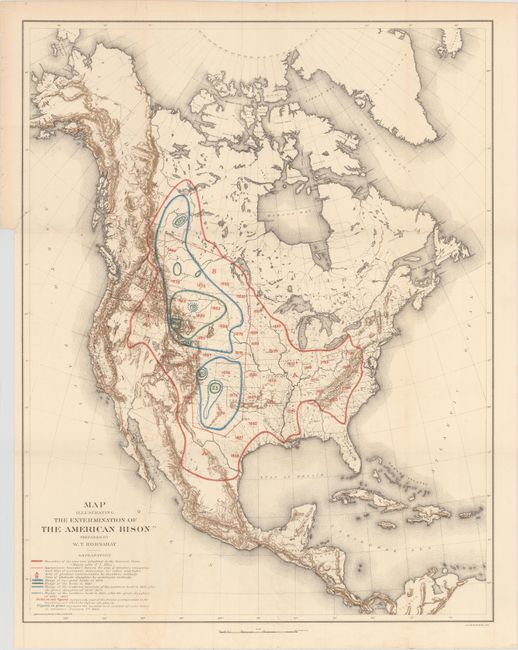
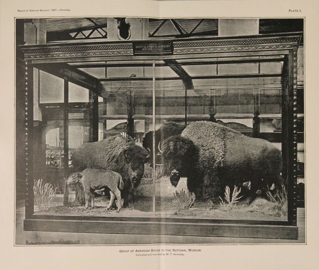
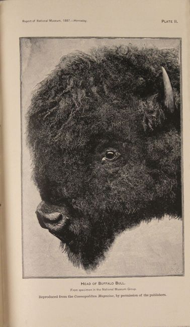
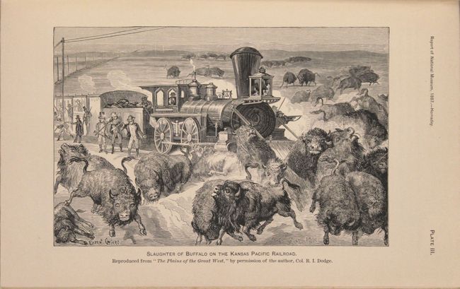
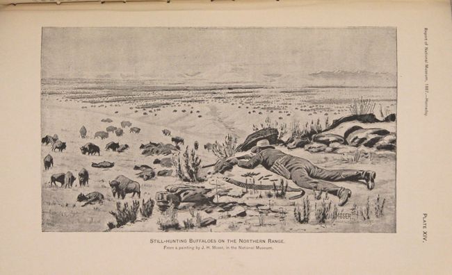
"Map Illustrating the Extermination of the American Bison Prepared by W.T. Hornaday [with report] The Extermination of the American Bison, with a Sketch of its Discovery and Life History", Smithsonian Institute
Subject: North America
Period: 1889 (published)
Publication: Annual Report of the Board of Regents of the Smithsonian Institution
Color: Printed Color
Size:
17.4 x 22 inches
44.2 x 55.9 cm
Download High Resolution Image
(or just click on image to launch the Zoom viewer)
(or just click on image to launch the Zoom viewer)


