Subject: Atlases
Period: 1873 (published)
Publication:
Color: Hand Color
Size:
15.3 x 17.8 inches
38.9 x 45.2 cm
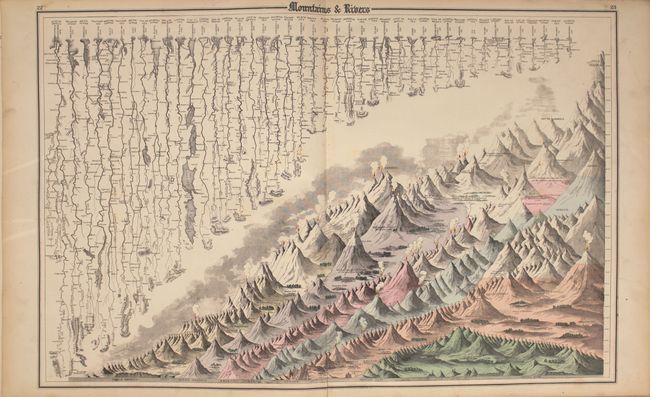
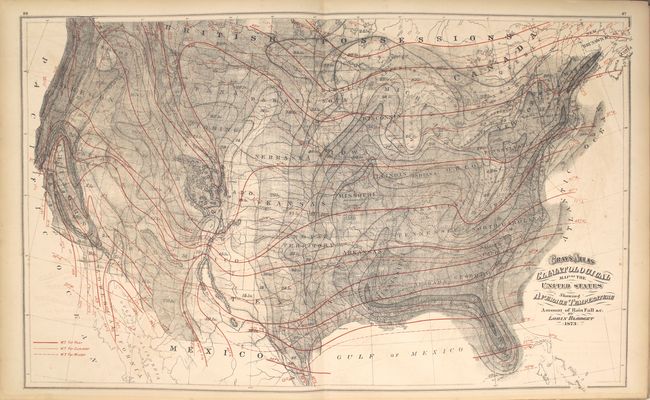
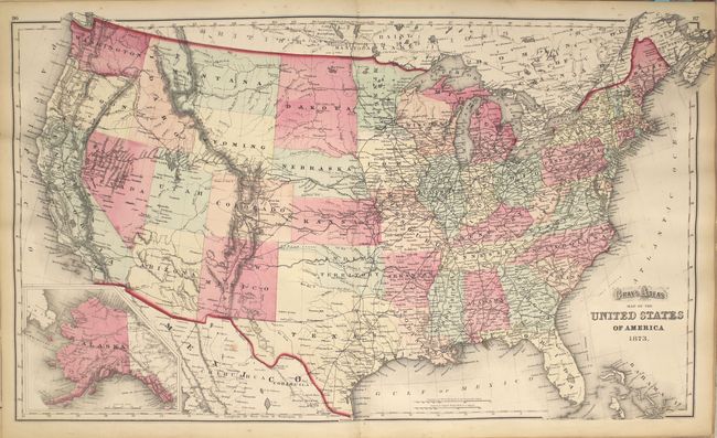
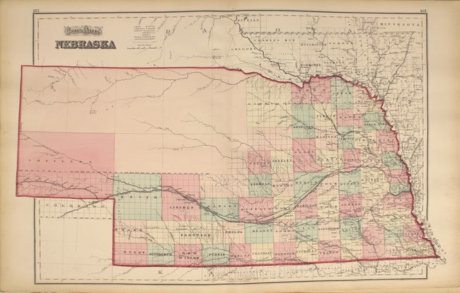
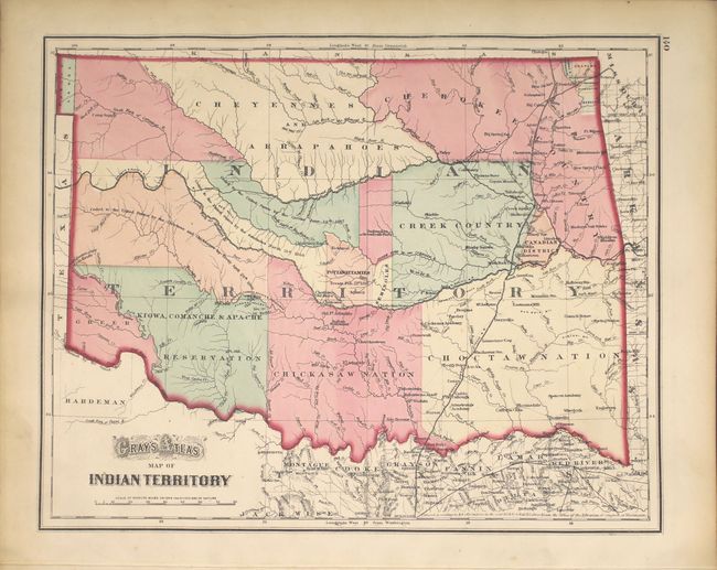
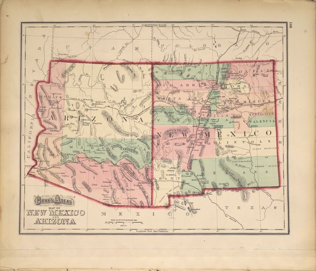
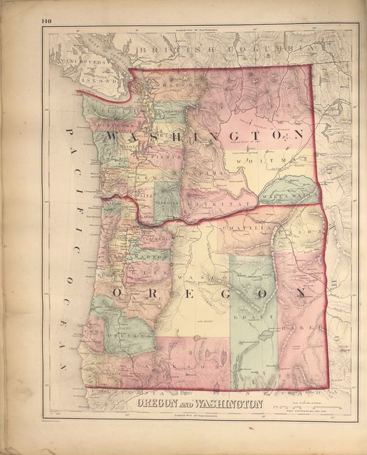
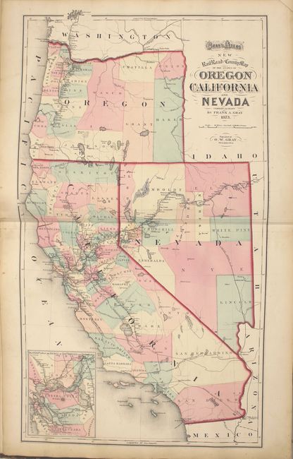
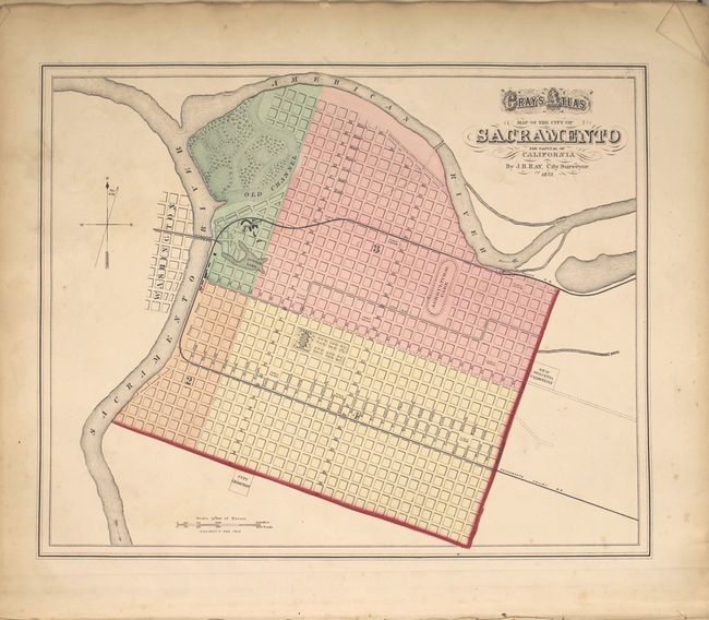
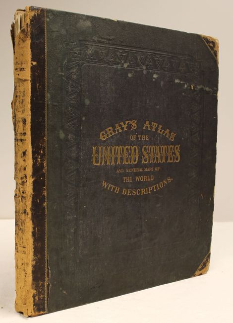
This complete atlas contains 52 single-page maps and 12 double-page maps including the uncolored climatological map by Blodget, and a very attractive Mountains & Rivers chart. Contains all states and city plans of Baltimore, Chicago, New York and Washington D.C. This western edition also contains a city plan for Sacramento and New RailRoad and County Map of the States of Oregon, California, Nevada which shows numerous railroads including the Texas and Pacific, Central Pacific, Oregon Central and Northern Pacific. Also includes a business directory for the cities of San Francisco and Chicago. Hardbound in brown cloth with quarter calf and tips, title page, contents, descriptions, maps and index.
References: Phillips (A) #1390.
Condition: B+
Condition code is for the map, which are mostly very good to near fine with light toning and a few edge chips confined to the blank margins. Binding is very loose. Spine has nearly perished and covers are stained and chipped.


