Subject: Atlases
Period: 1846 (published)
Publication:
Color: Printed Color
Size:
14.3 x 17.5 inches
36.3 x 44.5 cm
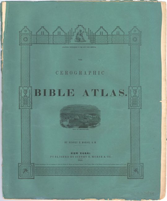
Morse & Breese's North American Atlas and Cerographic Bible Atlas were landmarks in American cartography, being the first atlases to utilize the cerographic printing process (wax engraving), which would revolutionize the map trade later in the 19th century. The maps were first printed in a series of inserts which appeared in the New York Observer and then later as separate atlases. The list of five maps in the atlas include:
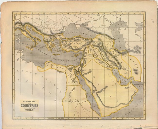
A. General Map of the Countries Mentioned in the Bible
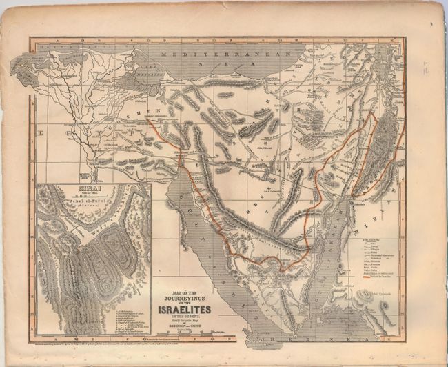
B. Map of the Journeyings of the Israelites in the Desert. Chiefly from the Map of Robinson and Smith
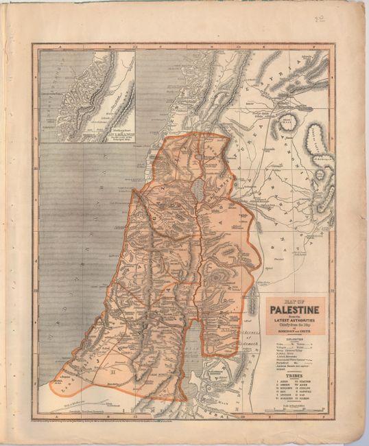
C. Map of Palestine from the Latest Authorities Chiefly from the Map of Robinson and Smith
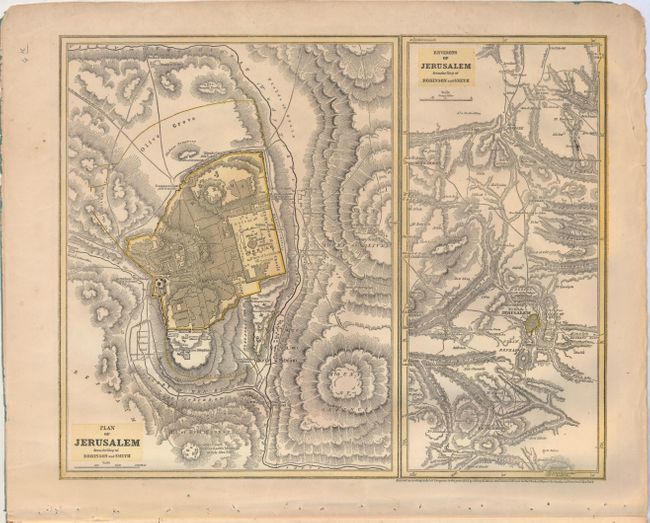
D. Plan of Jerusalem from the Map of Robinson and Smith [on sheet with] Environs of Jerusalem from the Map of Robinson and Smith
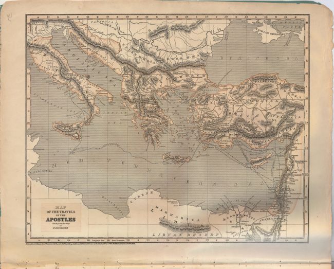
E. Map of the Travels of the Apostles Chiefly from the Map of Dr. Augs. Neander
References:
Condition: B+
Maps are very good with a few minor spots and a few small chips and edge tears in the bottom blank margin. Front paper wrapper is partially detached at top.


