Subject: Pacific Ocean
Period: 1829-67 (circa)
Publication:
Color:
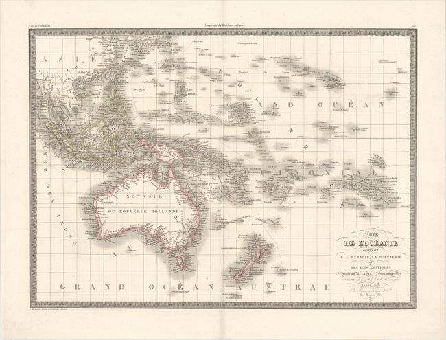
A. Carte de l'Oceanie Contenant l'Australie, la Polynesie et les Iles Asiatiques, by Alexander Emile & Pierre Lapie, from Atlas Universel, dated 1829, hand color (21.4 x 15.6"). This finely engraved chart covers the islands of the South Pacific from Southeast Asia through Hawaii, and from Australia through the Bass Islands. The map is intensely detailed, showing names of islands and island groups, harbors, channels, and straits. This interesting map was published by Colonel Pierre Lapie (1777-1850) and his son Alexandre Emile, who was the Royal Geographer to the King in Paris. The map was engraved by Lallemand. Lapie's embossed stamp appears to the left of the title. Condition: A fine impression with original outline color. (A)
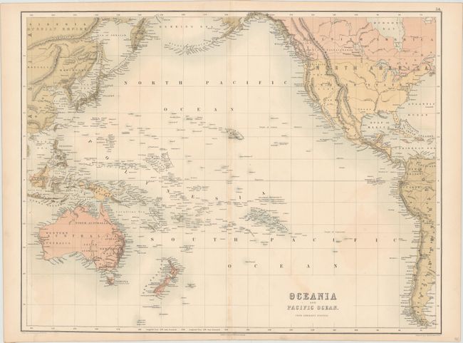
B. Oceania and Pacific Ocean. From Admiralty Surveys, by Adam and Charles Black, circa 1867, printed color (21.7 x 16.5"). This elegant chart of the Pacific Ocean centers on Hawaii. Nearly all of North America is shown, including the Alaska Peninsula, as is the western part of South America, Australia, the islands of the South Pacific, and part of the Russian Empire. Even pin-sized islands are identified, and there is excellent coastal detail throughout. Drawn by John Bartholomew Jr. and the engraved by John Bartholomew. W.H. McFarlane is credited with the color printing. Ref: Tooley (Australia) p. 22. Condition: Light toning along the centerfold, faint offsetting, and a short centerfold separation at bottom that has been closed on verso with archival tape. There are a few miniscule worm holes that are only just visible when held up to light. (B+)
References:
Condition:
See description above.


