Subject: Madagascar
Period: 1775 (circa)
Publication: Le Neptune Oriental
Color: Black & White
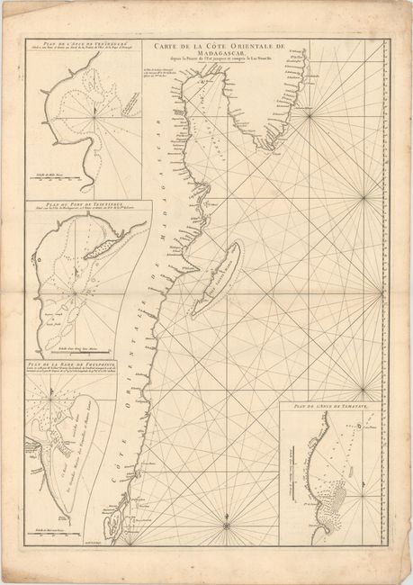
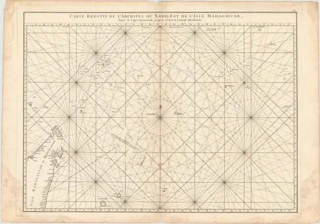
This pair of charts shows the northeastern portion of Madagascar's coast and several nearby islands. Both include a compass rose capped with a fleur-de-lis, rhumb lines, soundings, shoals, and hazards.
A. Carte de la Cote Orientale de Madagascar, Depuis la Pointe de l'Est Jusques et Compris le Lac Nosse Be, (19.1 x 26.4"). The first chart extends from Lake Tampolo (Lac de Nosse Be to north of Antongil Bay. It features four insets that provide close-up views of varying sections of coastline. Engraved by Guillaume Nicolas Delahaye. Condition: A nice impression on a sturdy, watermarked sheet with light soiling, a pair of worm holes around the centerfold, and minor offsetting.
B. Carte Reduite de l'Archipel du Nord-Est de l'Isle Madagascar, Depuis la Ligne Equinoctiale Jusqu'au 21d. 30.m. de Latitude Meridionale, (26.4 x 19.3"). The second chart zooms out to reveal the small islands to the northeast of Madagascar in the Indian Ocean. Northern Madagascar appears in the bottom left corner; the rest of the chart is dominated by ocean. Reunion (I. de Bourbon), Mauritius (I. de France), and the southern Maldives are among the islands pictured. Condition: A sharp impression on a watermarked sheet with light soiling, two pairs of worm holes around the centerfold, faint offsetting, and a centerfold separation that touches the neatline at bottom. There are damp stains in the blank margins, one of which just enters the map image at bottom left.
A French sailor and hydrographer, D' Après de Mannevillette (1707-1780) used new instruments to correct the latitudes measured by previous explorers. His atlas Le Neptune Oriental, first published in 1745, was considered a major achievement and an indispensable resource for navigators.
References: Shirley (BL Atlases) M.APR-1c.
Condition: B
See description above.


