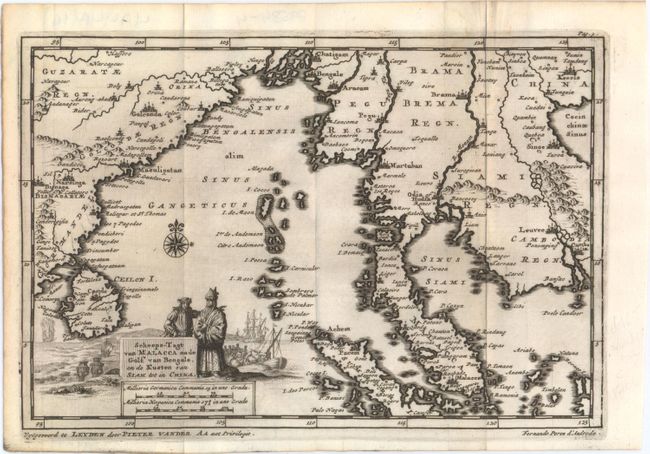
Subject: Indochina, Bay of Bengal
Period: 1706 (circa)
Publication: Naauwkeurige versameling der gedenk-waardigste zee en landreysen…
Color: Black & White
Size:
9 x 6.1 inches
22.9 x 15.5 cm
This uncommon map spans from the eastern coast of India and Sri Lanka across the Bay of Bengal to Indochina and part of southern China. It includes several towns and cities, rivers, and mountains. The title cartouche appears to portray a meeting between Portuguese diplomat Fernao Pires de Andrade (who is noted below the neatline at right) and a representative of the East as men in the background unload trade goods from vessels. A burning ship in the background could be a nod to the Malaccan crew who set fire to their own ship during a battle with de Andrade and the explorer and conqueror Afonso de Albuquerque. This map comes from van der Aa's compilation of early voyages of exploration.
References:
Condition: A
A dark impression, issued folding with a faint damp stain along the right fold at top.


