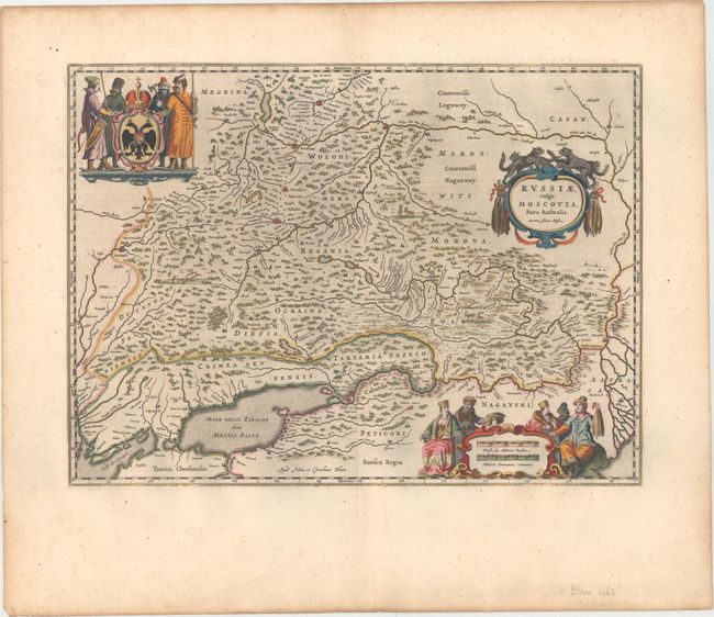
Subject: Southwestern Russia
Period: 1663 (published)
Publication: Le Grand Atlas
Color: Hand Color
Size:
20.8 x 15.3 inches
52.8 x 38.9 cm
This map covers the southwestern part of the Russian Empire bordering the Caucasus. The cities of Moscow, Smolensk, Vologda, Nizhniy Novgorod, and Azov are depicted with miniature castles, and smaller towns are shown along the river systems in the region. The map is elaborately embellished with richly dressed people and wild animals flanking three cartouches. The strapwork title cartouche credits the map to Isaac Massa, who visited Moscow in the early 1600s. The imprint of Johann and Cornelius Blaeu is at bottom, just left of centerfold. French text on verso.
References: Van der Krogt (Vol. II) #1802:2.
Condition: A
A nice impression on watermarked paper with very wide margins, attractive color, and light printer's ink residue.


