Catalog Archive
Auction 150, Lot 469

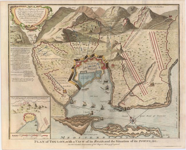
"Plan of Toulon, with a View of its Road, and the Situation of its Towns &c.", Tindal, Nicholas
Subject: Toulon, France

Period: 1732 (circa)

Publication: Mr. Rapin's History of England

Color: Hand Color

Size:
18.3 x 14.4 inches
46.5 x 36.6 cm
Download High Resolution Image
(or just click on image to launch the Zoom viewer)

Detailed plan of the French Mediterranean city, with fortifications, troop positions, ships in harbor, etc. This scene depicts the siege of Toulon by the British fleet in August 1707 during the War of the Spanish Succession. The inset plan at bottom left shows the advancing of the guards. Finely engraved by Isaac Basire.

References: Shirley (BL Atlases) G.RAP-1a #20.

Condition: B+

Issued folding on watermarked paper with attractive color, a printer's crease near the center of the map, and light printer's ink residue.

Estimate: $180 - $210

Sold for: $130

Closed on 9/17/2014

Archived