Subject: Western Europe, German Empire
Period: 1631 (published)
Publication: Germaniae Antiquae Libri Tres
Color: Black & White
Size:
13.8 x 10.4 inches
35.1 x 26.4 cm
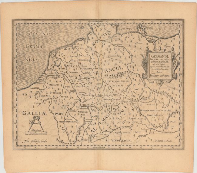
This lot includes four maps and the title page from Cluver's study of the ancient geography, peoples, culture, history, and language of Germany, based on numerous ancient literary sources. The four maps were engraved by Nicolaas van Geelkerken.
A. Germaniae Populorum Inter Rhenum et Albim Amneis, ut a Trajani Imperio, et Circa Marcellini Aetatem Incoluerunt, Descriptio. This map shows the extent of the ancient German Empire at the time of the reign of Roman Emperor Trajan (53-117 AD), who successfully expanded the territory of the Roman Empire to the Rhine and Danube Rivers. Only a few towns are depicted among the extensive system of rivers.
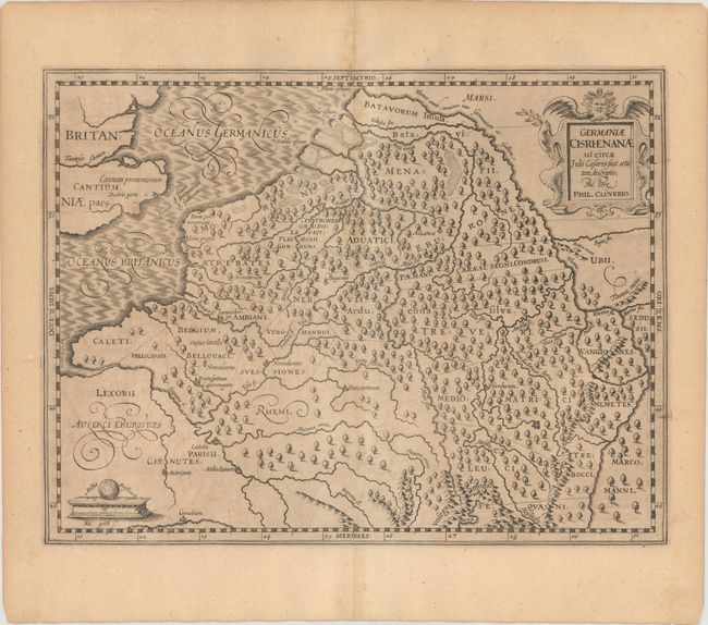
B. Germaniae Cisrhenanae ut Circa Julii Caesaris Suit Aetatem, Descriptio. This map shows the German Empire to the west of the Rhine River, into Belgium and France, during the time of Julius Caesar (100-44 BC). The few towns shown are located in the southeast, including Lutetia, which fell to the Romans under Caesar's rule in 52 BC, and later became Paris, France.
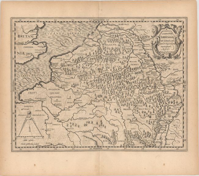
C. Germaniae Cisrhenanae ut Inter I. Caesaris et Trajani Suit Imperia Descriptio. This map is geographically identical to the previous one, and shows the changes in the region between the time of Julius Caesar and Emperor Trajan. There are now numerous towns depicted along the Rhine and Moselle Rivers.
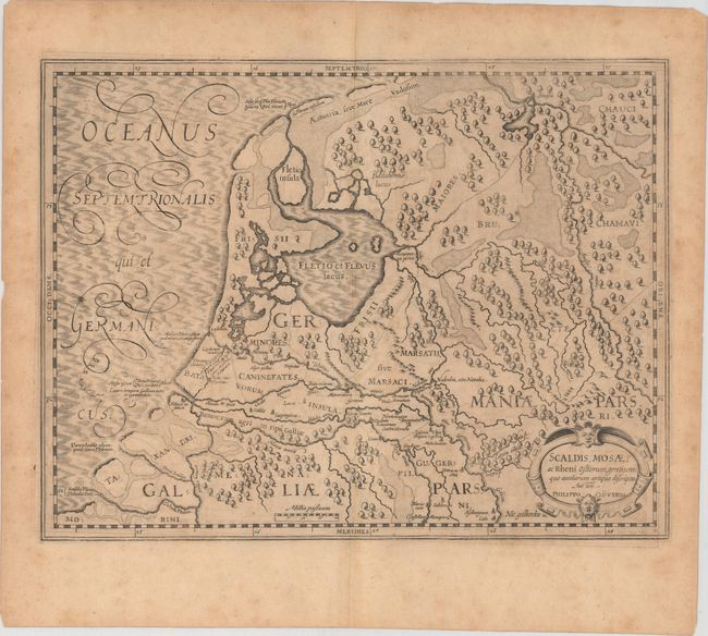
D. Scaldis, Mosae, ac Rheni Ostiorum, Gentiumque Accolarum Antiqua Descriptio. This map centers on the area to the north of the Sambre and Meuse Rivers, and to the west of the Rhine River, showing the mouths of each of the rivers.
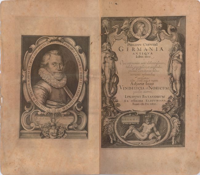
E. Germaniae Antiquae Libri Tres. Opus Post Omnium Curas Elaboratissimum, Tabulis Geographicus, et Imaginibus.... This sheet contains the title page to Cluver's study on ancient Germany and a rare portrait of Cluver himself. The title page is flanked by ancient Germanic figures, with the male holding a decapitated head with another atop his spear. Below is a river god representing the Rhine River, and at top is a medallion bearing the portrait of Arminius, a chieftain of the Germanic Cherusci who defeated the Roman army in the Battle of the Teutoburg Forest. Pairs of wild animals complete the composition.
References: Shirley (BL Atlases) T.CLUV-1c.
Condition: B
The four maps have light toning, some offsetting, and minor soiling. The title page is moderately toned with light soiling and some tiny chips and tears along sheet edges.