Catalog Archive
Auction 150, Lot 461

"Carte des Sept Provinces-Unies des Pays-Bas, Connues sous le Nom General de Hollande. Avec les Provinces Autrichiennes Situees dans le Meme Pays", Bonne, Rigobert

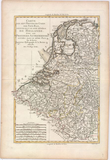
Subject: Low Countries

Period: 1781 (dated)

Publication:

Color: Hand Color

Size:
8.6 x 12.6 inches
21.8 x 32 cm
Download High Resolution Image
(or just click on image to launch the Zoom viewer)

This densely detailed map of the Low Countries shows the area from the islands off the coast of Friesland and Embden in the north to Luxembourg in the south. The seventeen provinces are named, as are several rivers and towns, including major cities such as Amsterdam, Rotterdam, the Hague, Bruges, Brussels, Luxembourg and Haarlem. Includes seven distance scales. Engraved by Andre.

References:

Condition: A

On a sturdy sheet with minor toning along the sheet's edges, well away from image.

Estimate: $80 - $100

Sold for: $60

Closed on 9/17/2014

Archived