Subject: Scandinavia
Period: 1830 (circa)
Publication:
Color: Hand Color
Size:
12.3 x 11.1 inches
31.2 x 28.2 cm
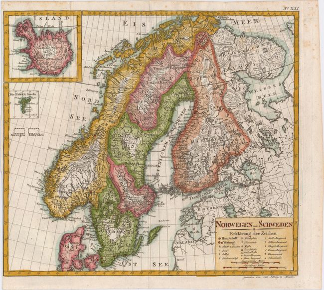
This uncommon German map of Scandinavia was engraved by Karl Jaettnig. It is dense with detail, depicting towns and cities, political divisions, and plenty of topographical detail. A key within the title cartouche identifies numerous other locations of interest, including universities, castles, locations of land and sea battles (with the date when they occurred), and various types of mines. There are two insets that focus on Iceland and the Faroe Islands.
References:
Condition: B+
Issued folding on watermarked paper with some light offsetting from an opposing page of text at top right and faint scattered foxing, mostly concentrated in the top right blank margin. The margin is trimmed close to the neatline at left.


