Catalog Archive
Auction 150, Lot 412

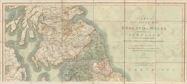
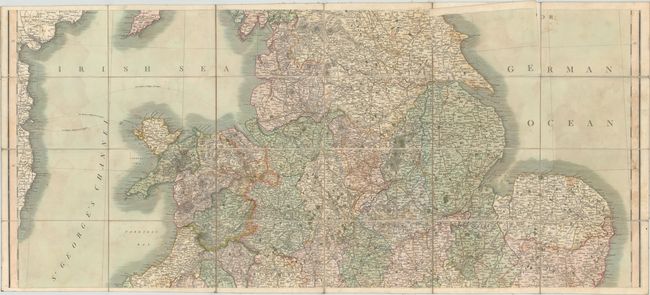
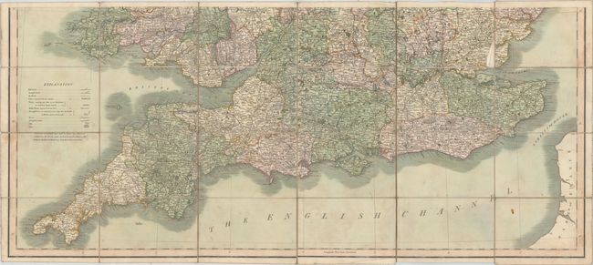
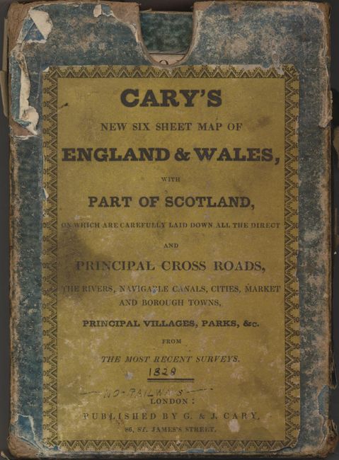
"Cary's Six Sheet Map of England and Wales, with Part of Scotland: On Which Are Carefully Laid Down All the Direct and Principal Cross Roads, the Course of the Rivers and Navigable Canals...", Cary, John

Subject: Britain

Period: 1828 (dated)

Publication:

Color: Hand Color

Size:
40.1 x 17.6 inches
101.9 x 44.7 cm
Download High Resolution Image
(or just click on image to launch the Zoom viewer)

This large map of England, Wales and a portion of Scotland was printed on six sheets, which were joined to form three sheets, dissected and mounted on linen. Counties are delineated in full color. The map is absolutely filled with detail including postal roads, turnpike roads, canals and rivers, and names numerous cities, towns and parks. Includes distance scales in British Statute miles and miles. Published by John Cary at 86, St. James's Street. The map is housed in a green paperboard slipcase.

References:

Condition: B

The map has several areas, especially in the North Sea, where the adhesive that holds the map to the linen has shown through, appearing as a damp stain. There is one map panel at the top of the second sheet that has become loose and a few are dog-eared. The slipcase is heavily rubbed with a few stains.

Estimate: $400 - $500

Sold for: $200

Closed on 9/17/2014

Archived