Catalog Archive
Auction 150, Lot 407

NO RESERVE

"A New and Accurate Map of Europe Collected from the Best Authorities, Assisted by the Most Approv'd Modern Maps & Charts...", Bowen, Emanuel
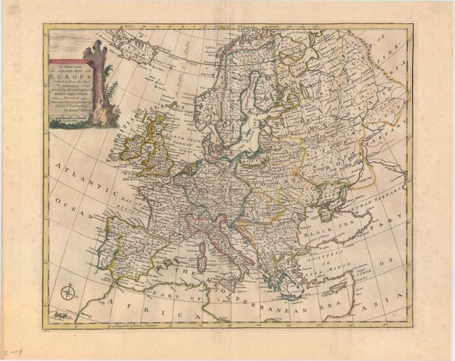
Subject: Europe

Period: 1747 (circa)

Publication: A Complete System of Geography

Color: Hand Color

Size:
16.7 x 13.7 inches
42.4 x 34.8 cm
Download High Resolution Image
(or just click on image to launch the Zoom viewer)

This well-engraved map of Europe includes Iceland and extends east to where the Volga River discharges into the Caspian Sea. The map is filled with political boundaries, cities, rivers, and a few topographical details. The title cartouche is depicted on stone ruins.

References: McCorkle (18th C. Geography Books) #17-3; Shirley (BL Atlases) T.BOW-2a #5.

Condition: B+

Original outline color with later coloring in the cartouche. On watermarked paper with light toning along the centerfold.

Estimate: $200 - $230

Sold for: $85

Closed on 9/17/2014

Archived