Subject: Grenada
Period: 1762-81 (circa)
Publication:
Color:
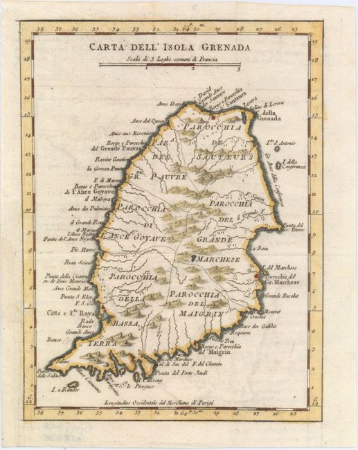
A. Carta dell' Isola Grenada, by Jacques Nicolas Bellin, from Teatro Della Guerra Marittima, circa 1781, hand color (6.2 x 8.3"). Very well described chart of the island showing administrative subdivisions, villages, churches, watershed, and some relief. Many features are named along the coastline. This is the third Italian edition appearing in Teatro Della Guerra Marittima. Ref: Tooley (MCC-62) Grenada #21; cf. Sellers & Van Ee #2098. Condition: Issued folding with faint offsetting and a binding trim at left that has been replaced using old paper.
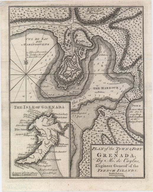
B. Plan of the Town & Fort of Grenada, by Caylus, from London Magazine, published 1762, black and white (6.9 x 9.8"). Fine plan of the harbor and town of St. George's. Details include soundings, anchorages, and shoals in the harbor, and the barracks, parade ground, church, and guardroom in the fort. The map is fully engraved with vegetation and shows the location of an Ancient Town abandon'd. Includes an inset map of the island. From the December 1762 issue. Ref: Jolly #LOND-219; Sellers & Van Ee #2103. Condition: A dark impression with some minor offsetting from an opposing page of text.
References:
Condition: B+
See description above.


