Subject: United States, Mexico & Central America
Period: 1851 (circa)
Publication: Sen Ex. Doc. No. 1, 32nd Cong., 1st Sess.
Color: Hand Color
Size:
14 x 14 inches
35.6 x 35.6 cm
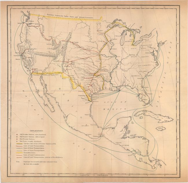
This untitled map of the United States and Mexico identifies army posts, old army posts, land transportation routes and river/ocean transportation routes. A line from the mouth of the Sabine River in Louisiana north to Lake Superior indicates the "Extreme Limit of Line of Frontier Stations." Stations to the east of this line were primarily accessible by steamboat and railroads while stations to the west of the line were reached by wagon only. The famous "March of the Rifle Regiment in 1849" from Ft. Leavenworth to the Columbia River is also depicted. This expedition gave rise to the Report...of the March of the Regiment of Mounted Riflemen to Oregon, from May 10, to October 5, 1849 (Sen Ex. Doc. No. 1, 31st Cong, 2nd Sess.) but no map accompanied that report.
References: Wheat (TMW) #727.
Condition: B+
Issued folding with light toning and an edge tear confined to the left blank margin closed on verso with archival tape.


