Catalog Archive
Auction 150, Lot 276

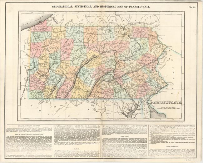
"Geographical, Statistical, and Historical Map of Pennsylvania", Carey & Lea
Subject: Pennsylvania

Period: 1822 (circa)

Publication: A Complete Historical, Chronological, and Geographical American Atlas

Color: Hand Color

Size:
17.8 x 11.8 inches
45.2 x 30 cm
Download High Resolution Image
(or just click on image to launch the Zoom viewer)

This map of Pennsylvania appears on a full folio sheet (20.4 x 16.7") with English text below outlining the topography of the state. The counties are up to date as of 1822, with the state's newest county, Clearfield, shown. Rivers, mountains, roads, and towns and cities, including Philadelphia and Pittsburgh, are located. The counties are delineated, and roads are well depicted throughout the state. Engraved by J. Yeager.

References:

Condition: B+

Original color with light soiling and a few archivally repaired chips and separations along and around the centerfold, most of which fall outside the map image. There is a short edge tear that just enters the neatline at top right.

Estimate: $150 - $180

Sold for: $90

Closed on 9/17/2014

Archived