Catalog Archive
Auction 150, Lot 238

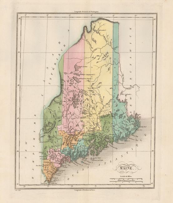
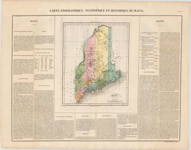
"Carte Geographique, Statistique et Historique du Maine", Buchon, Jean Alexandre

Subject: Maine

Period: 1825 (circa)

Publication: Atlas Geographique, Statistique, Historique et Chronologique…

Color: Hand Color

Size:
9.4 x 11.8 inches
23.9 x 30 cm
Download High Resolution Image
(or just click on image to launch the Zoom viewer)

This is the French edition of Carey & Lea's map of the young state of Maine. The map details the nine counties, roads, and towns. County configuration is up-to-date. It is surrounded by French text on a full folio sheet, with a table listing the population of each county and information regarding the state's geography, commerce, governors, history, and more. Sheet with text measures 23.9 x 18.6".

References:

Condition: A

On a sturdy sheet with a few faint spots and minor offsetting, mostly confined to the surrounding text.

Estimate: $80 - $100

Sold for: $40

Closed on 9/17/2014

Archived