Subject: Los Angeles, California
Period: 1925-31 (circa)
Publication:
Color: Printed Color
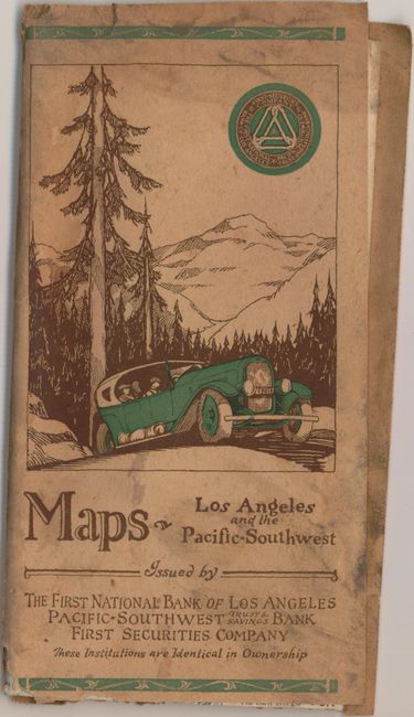
A. Map of Los Angeles and Vicinity California, by Pacific-Southwest Trust & Savings Bank, dated 1925 (17.3 x 18.3"). This promotional map of downtown Los Angeles shows street car lines, railroads, roads and the location of its banking branches. Surrounded by a street index. The verso includes Motor Map of Southern California and Motor Map of the Pacific Southwest. Folds into paper wrappers. Condition: Issued folding with a few small worm tracks in the image. Paper covers soiled. (B+)
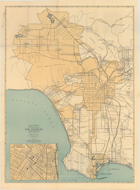
B. Rand McNally Standard Map of Los Angeles and Vicinity, by Rand McNally & Co., circa 1930 (19.1 x 26.1"). This basic map of the greater Los Angeles region covers the area from Chatsworth and Pasadena to the north and Long Beach to the south. It depicts the growing road, railroad and electric line network in the region. Includes an inset of downtown Los Angeles. Condition: A clean example, issued folding, with a few small splits at fold intersections closed on verso with archival tape. (A)
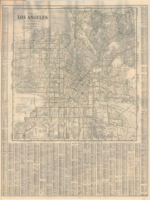
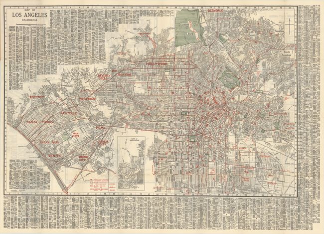
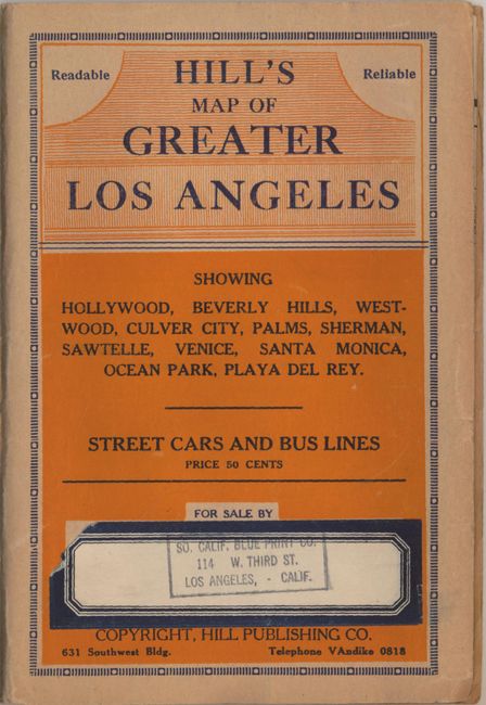
C. Map of Los Angeles California, by E.F. Hill, dated 1931 (35.1 x 22.9"). This highly detailed map covers the region from Santa Monica to Glendale and Pasadena to the east. Depicts the routes of street cars and bus lines. The verso includes maps of the San Fernando Valley, Pasadena, Harbor District (San Pedro) and Alhambra. Folds into paper wrappers. Condition: Issued folding with a few small splits at fold intersections. (A)
References:
Condition:
See description above.