Catalog Archive
Auction 150, Lot 206
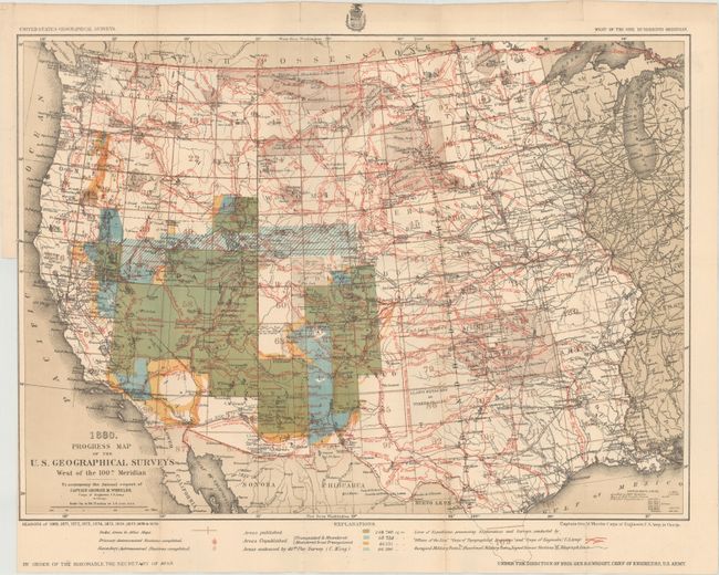
"Progress Map of the U. S. Geographical Surveys West of the 100th Meridian…", U.S. Army

Subject: Western United States
Period: 1880 (dated)
Publication: Annual Report of Captain George M. Wheeler
Color: Printed Color
Size:
22.3 x 16 inches
56.6 x 40.6 cm
Download High Resolution Image
(or just click on image to launch the Zoom viewer)
(or just click on image to launch the Zoom viewer)

