Catalog Archive
Auction 150, Lot 158

"United States General Map", Chapman & Hall

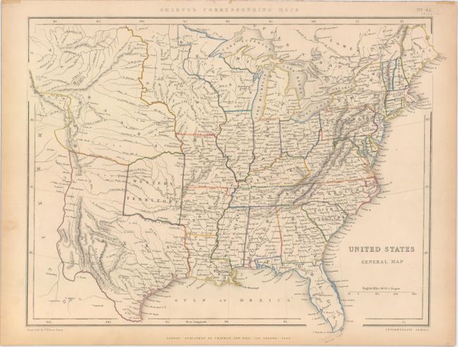
Subject: Eastern United States

Period: 1848 (dated)

Publication: Sharpe's Corresponding Maps

Color: Hand Color

Size:
16.9 x 13.1 inches
42.9 x 33.3 cm
Download High Resolution Image
(or just click on image to launch the Zoom viewer)

Map of the United States extending to the Rocky Mountains. Texas is shown in its stovepipe configuration with Western Territory directly above it in present-day Oklahoma. A huge Nebraska Territory occupies the region from the Rockies to the Missouri River, with a Dacota Iowa Territory taking up the region between the Missouri and Mississippi rivers. The map is filled with details including towns and cities, forts, rivers and topography by hachure.

References:

Condition: A

Original outline color with light toning along sheet edges.

Estimate: $140 - $170

Sold for: $110

Closed on 9/17/2014

Archived