Subject: St. Lawrence River, Canada
Period: 1759 (published)
Publication: London Magazine
Color: Black & White
Size:
10.2 x 7.2 inches
25.9 x 18.3 cm
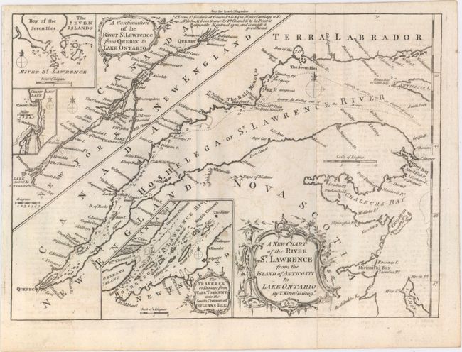
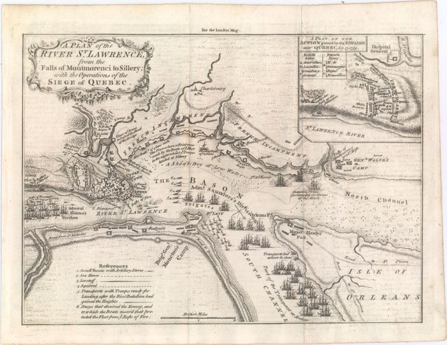
This fascinating lot features two maps of the St. Lawrence River that were published just a couple months apart in London Magazine in late 1759. The first is a two-part map signed by Thomas Kitchin that elaborates on navigational courses in the St. Lawrence River. In addition to the main map, which traces the river from Anticosti Island to the city of Quebec, there is an included extension, A Continuation of the River St. Lawrence from Quebec to Lake Ontario. There are three additional insets: one focusing on the Bay of the Seven Isles, another on Lake Champlain, and The Traverse or Passage from Cape Torment into the South Channel of Orleans Isle. The river is filled with soundings, anchorages, shoals, rocks, and islands. The second map is a very detailed engraved look at the siege of Quebec during the French and Indian War of 1759. The map shows the positions of the two opposing forces with numerous war ships in the river surrounding the city. Admiral Holme's Division is upstream with Admiral Saunder's Division to the east and also up the South Channel. The HMS Centurion is located in the North Channel just below General Wolfe's land based camp near the Falls of Montmoreenci. At upper right is A Plan of the Action Gained by the English Near Quebec, Sep. 13, 1759. Both maps are adorned with fancy rococo-style title cartouches.
References: Jolly #LOND-174 & 178; Sellers & Van Ee #238.
Condition: B+
Both maps were issued folding with faint offsetting from an opposing page of text and a couple small spots.


