Catalog Archive
Auction 149, Lot 510

"Nova Totius Germaniae Descriptio", Blaeu, (Family)

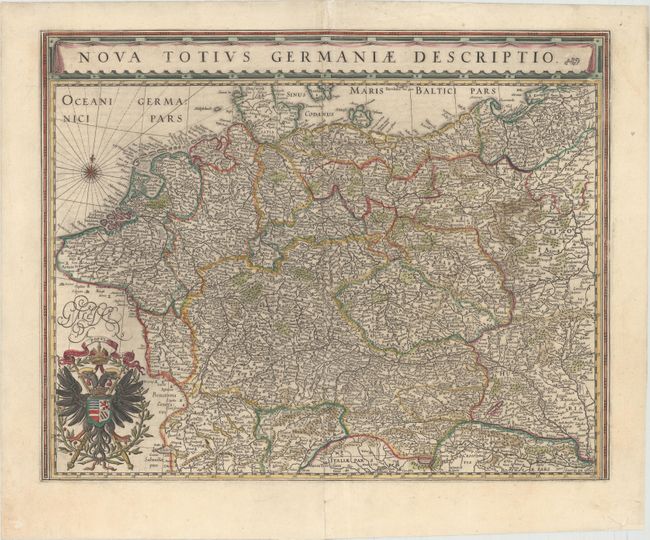
Subject: Central Europe, Germany

Period: 1643 (circa)

Publication: Theatre du Monde ou Nouvel Atlas

Color: Hand Color

Size:
19.6 x 15.5 inches
49.8 x 39.4 cm
Download High Resolution Image
(or just click on image to launch the Zoom viewer)

This map of the German Empire covers present-day Germany, Poland, Netherlands, Belgium, Switzerland, Austria, Czech Republic and parts of Poland and Hungary. The map is densely engraved with information and decorated with the imperial double-headed eagle of the German Empire. French text on verso, published between 1643-50.

References: Van der Krogt (Vol. II) #2000:2B2.

Condition: B+

A nice impression with original color that has been partially refreshed. There are two professionally repaired tears adjacent to centerfold that enter map 3" at bottom and 2" at top.

Estimate: $300 - $375

Sold for: $230

Closed on 5/21/2014

Archived