Subject: Spain
Period: 1762 (dated)
Publication:
Color: Hand Color
Size:
17 x 21.6 inches
43.2 x 54.9 cm
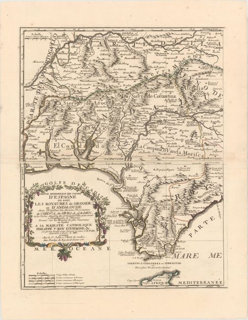
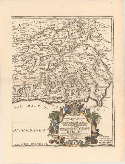
This two-sheet map depicts southern Spain, covering the Mediterranean coast from Ayamonte to Vera, and extending north to Badajoz in the west and the Sierra de Segura mountains in the east. The map was issued during the War of Spanish Succession, which was caused by the succession of the Frenchman Philippe of Anjou to the Spanish throne, thereby uniting France and Spain under the House of Bourbon. This upset the balance of power in Europe and was opposed by the British, Dutch and Germans. During the conflict, the southern part of Spain was the main theater of war. The maps include the Bay of Cadiz and Gibraltar and the major cities of Merida, Seville, Corduba, Granada, and Almeria. Each sheet has a large title cartouche, one in French and one in Spanish, both dedicated to Philip V. The cartouche on the western sheet is surrounded by grape vines, and the cartouche on the eastern sheet includes allegorical figures and the royal arms and heralds of Cordova, Andalucia and Granada. Size varies slightly.
References: Shirley (BL Atlases) T.NOL-2a #19-20.
Condition: A
Excellent, dark impressions on watermarked paper with attractive color. There is just a hint of toning along centerfolds and a professionally repaired tear confined to right blank margin on eastern sheet. These are very bright, clean examples.


