Subject: England & Wales
Period: 1816-54 (circa)
Publication:
Color: Hand Color
An interesting lot of nineteenth century maps centered on England and Wales, each complete with towns and cities, political divisions, rivers, and topographical detail.
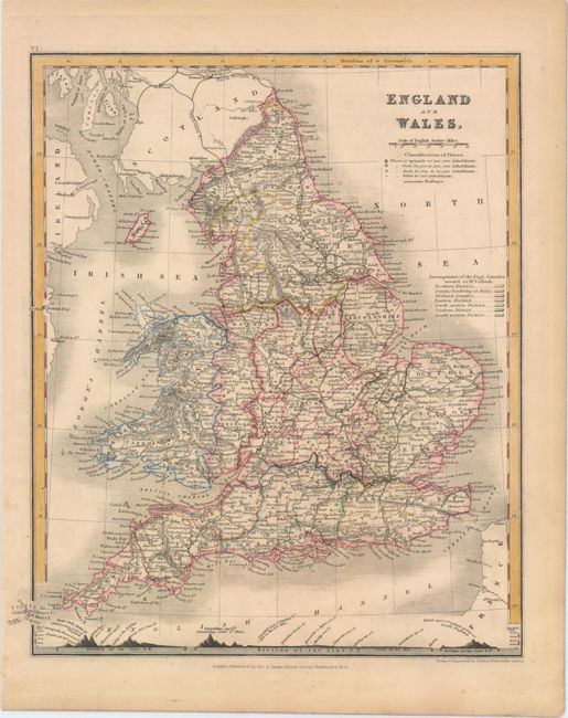
A. England and Wales, by J. Dower, from A New General Atlas of Modern Geography..., circa 1854 (8.7 x 10.2"). Includes two keys, the first showing the markers used to signify railroads and cities by population, the second devoted to the color code used to delineate the various districts and counties. A picture chart running along the bottom of the sheet shows the height of several mountains and towns relative to sea level. Published by Orr & Company. Condition: Original color. (A)
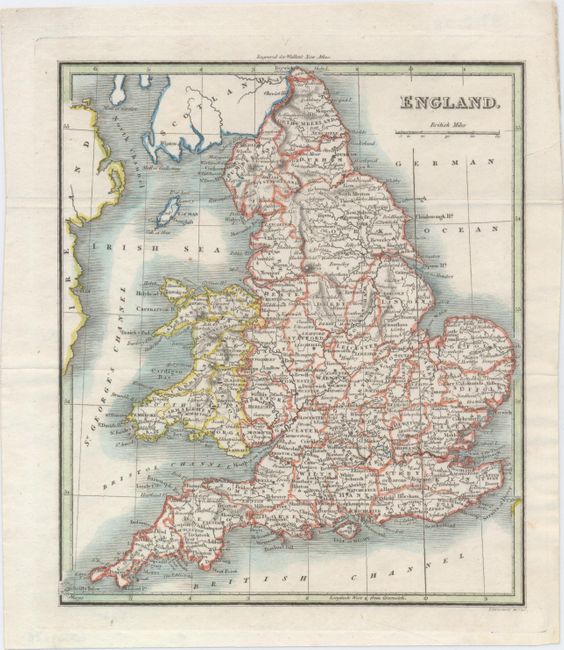
B. England, by John Walker, from Walker's New Atlas, circa 1816 (7.1 x 8.3"). Engraved by Thomson. Condition: Issued folding, now flat. (A)
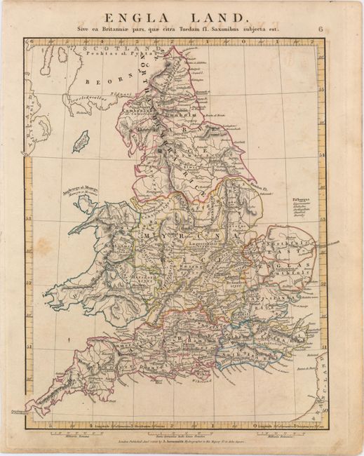
C. Engla Land, Sive ea Britanniae Pars, quae Citra Tuedam Fl. Saxonibus Subjecta Est, by Aaron Arrowsmith, Jr., from Orbis Terrarum Veteribus Noti Descriptio..., dated 1828 (9.7 x 12.3"). Condition: Light offsetting from an opposing page of text, a spot of foxing at left, and marginal soiling. (B+)
References:
Condition:
See description above.


