Catalog Archive
Auction 149, Lot 366

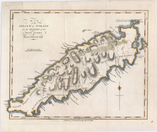
"Map of the Island of Tobago for the History of the West Indies", Edwards, Bryan
Subject: Tobago

Period: 1799 (dated)

Publication:

Color: Hand Color

Size:
9.3 x 7.2 inches
23.6 x 18.3 cm
Download High Resolution Image
(or just click on image to launch the Zoom viewer)

A nice chart of the island showing its political divisions and considerable coastal detail. Topography is well developed. Published by John Stockdale.

References: cf. Tooley (MCC-10) #48.

Condition: B+

Issued folding on watermarked paper with marginal soiling and a few fold separations that have been closed on verso with archival tape, the longest of which enters about 1" into the image.

Estimate: $70 - $90

Sold for: $50

Closed on 5/21/2014

Archived