Catalog Archive
Auction 148, Lot 117

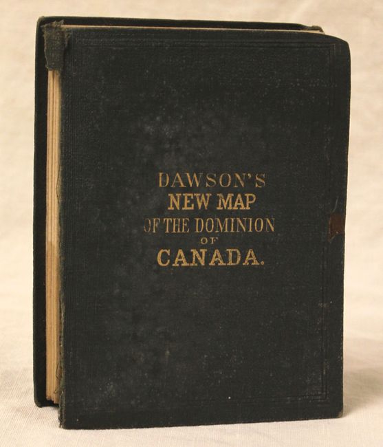
"New Map of the Dominion of Canada", Bartholomew, John

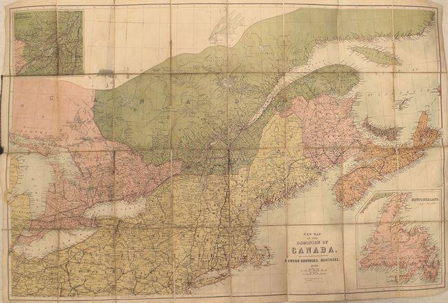
Subject: United States & Canada

Period: 1870 (dated)

Publication:

Color: Printed Color

Size:
32.6 x 21.3 inches
82.8 x 54.1 cm
Download High Resolution Image
(or just click on image to launch the Zoom viewer)

Map covers the area from Ohio east to Nova Scotia and Prince Edward Island. Details include existing and proposed railroads, canals, cities and towns. Insets show the Environs of Montreal and Newfoundland. Folds into green cloth covers with gilt title on front cover (4.5 x 6.0").

References:

Condition: B+

Dissected and mounted on linen with some faint damp staining in the image. Front cover is detached.

Estimate: $80 - $100

Sold for: $60

Closed on 2/19/2014

Archived