Subject: Geography Books
Period: 1861-74 (published)
Publication:
Color:
Size:
7.5 x 9 inches
19.1 x 22.9 cm
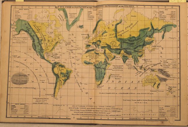
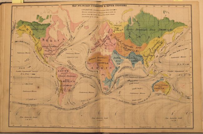
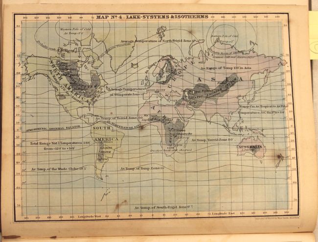
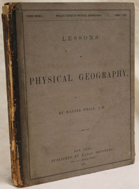
A. Lessons in Physical Geography, by Walter Wells, published 1861, hand color. This physical geography includes 3 double-page maps and 5 single page maps of the world showing temperature, elevation, ocean currents, and trade winds to name a few. Three of the maps are attractively hand colored. 128 pp., hardbound with gray paper over boards. Condition: Maps and text are toned with some damp staining in the lower right corner of the pages, which is more pronounced in the second half of the book. Spine and covers are worn with the previous owners stamp on the inside front cover. (B)
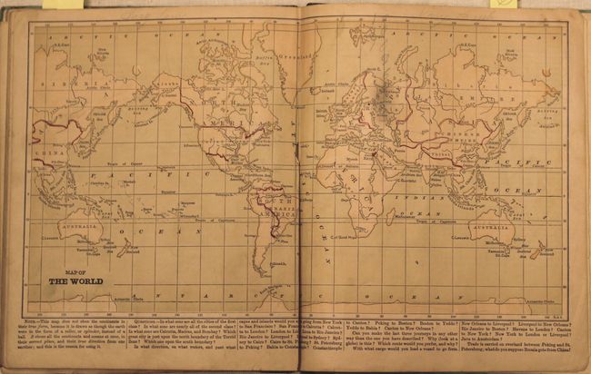
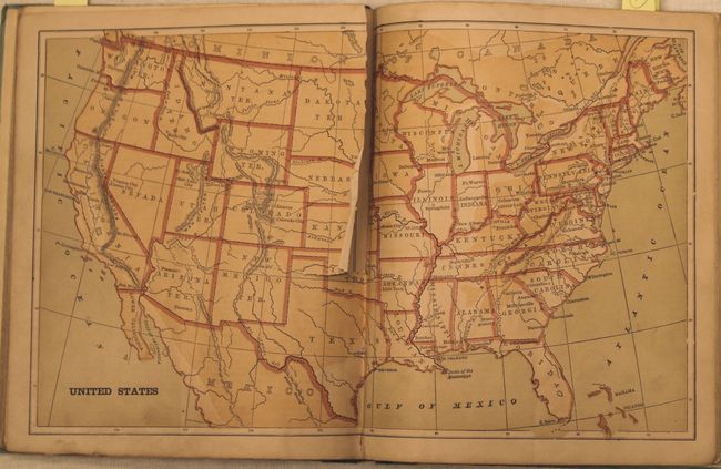
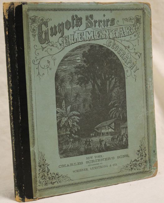
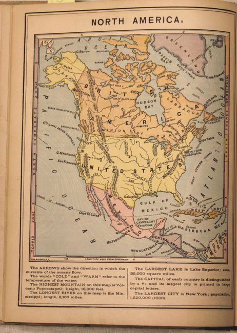
B. Guyot's Geographical Series. Elementary Geography, for Primary Classes, published by Charles Scribner's Sons, published 1868, printed color. Includes double-page maps of the United States and world and 14 single-page maps covering regional views of the United States and the continents. Numerous illustrations are included in the 96 pp. of text. Guyot was a professor of geography and geology at Princeton University, whose early work began with Louis Agassiz, a notable geologist and innovator of the study of natural history. Hardbound with pictorial paper over boards. Condition: Maps and text have some light toning with many of the maps containing pencil notations in the image. The map of the United States is separated halfway down the centerfold with an associated 1" tear. Spine and covers are worn with a few pencil notations in the endpapers. (B)
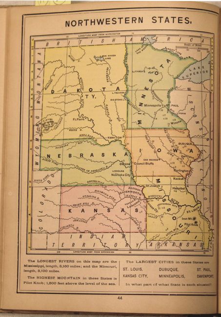
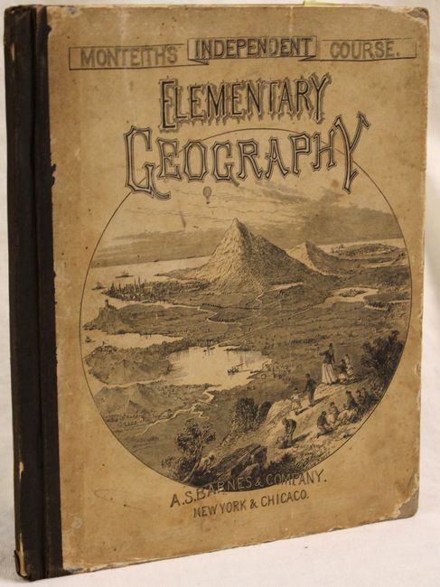
C. The Independent Course. Elementary Geography, Taught by Means of Pictures, Maps, Charts, Diagrams, Map Drawing and Blackboard Exercises, by James Monteith, 1874, printed color. There are twelve single-page maps focused on the continents and regional views of the United States, and many more smaller maps and illustrations interspersed through the 80 pp. of text. Hardbound with pictorial paper over boards. Condition: Maps and text are lightly toned while the spine and covers and worn and bumped. (B+)
References:
Condition:
See description above.