Subject: Atlases
Period: 1902 (circa)
Publication:
Color: Printed Color
Size:
11.5 x 13.3 inches
29.2 x 33.8 cm
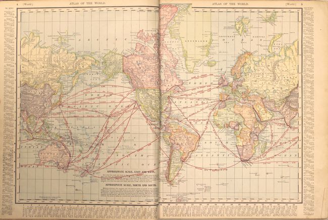
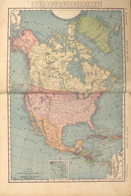
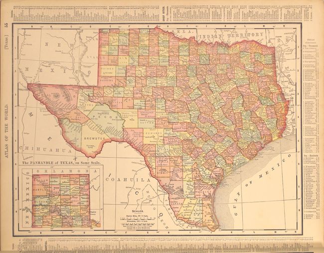
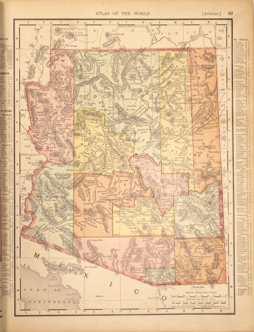
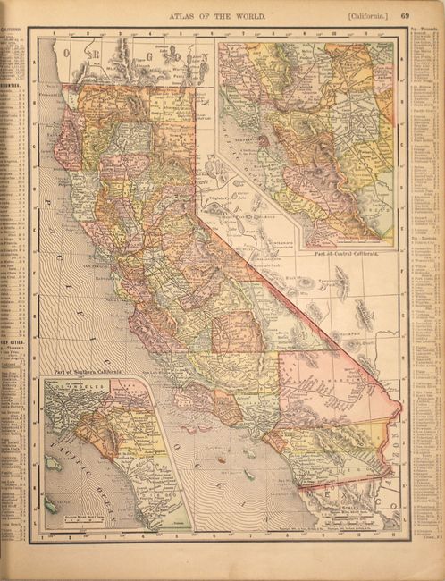
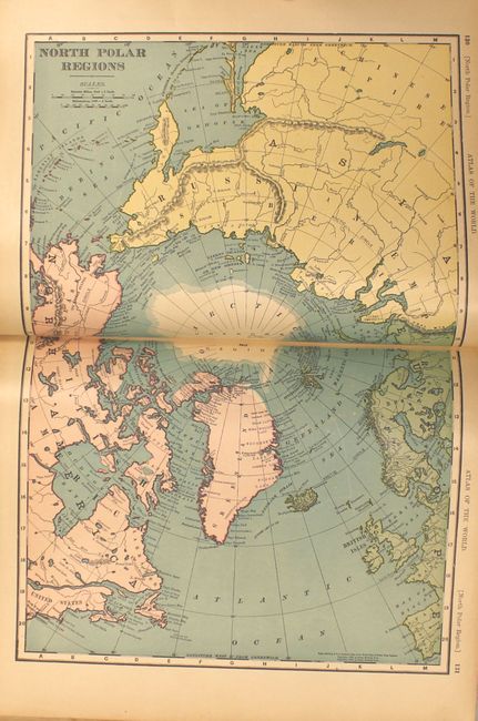
This nearly complete atlas contains 82 single-page and 37 double-page maps (missing only the maps of Puerto Rico and United States Acquisitions, in addition to the title page). All double-page maps are printed on two sheets. Although this is a world atlas, the majority of the maps are of U.S. interest, including all states and territories and numerous city plans. The atlas is illustrated with dozens of black and white photographs interspersed throughout the text, including presidential portraits and a facsimile of the U.S. constitution. Introduction, table of contents, text and maps, 461 pp., including an exhaustive 92 pp. listing of towns and counties for each state. This example does not contain the "History of the Spanish-American War with Handy Atlas Maps and Full Description of Recently Acquired United States Territory" supplement sometimes seen at the back of these atlases. Hardbound in original green cloth with blue cloth spine and leather tips. Gilt and embossed title to cover with graphic elements including a compass rose and sailing ship.
References:
Condition: B+
Condition code is for the maps which are generally very good with some light toning and a very thin damp stain in the top blank margin away from the images. Contents are tight, the covers are loose and starting to detach, and the extremities show some wear with two small chips in the front cover. The perished spine has been replaced with a denim cloth material.