Subject: Atlases
Period: 1723 (dated)
Publication:
Color: Hand Color
Size:
9.5 x 14.2 inches
24.1 x 36.1 cm
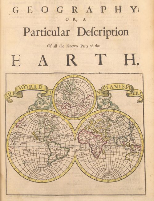
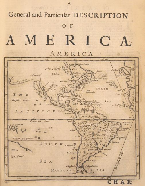
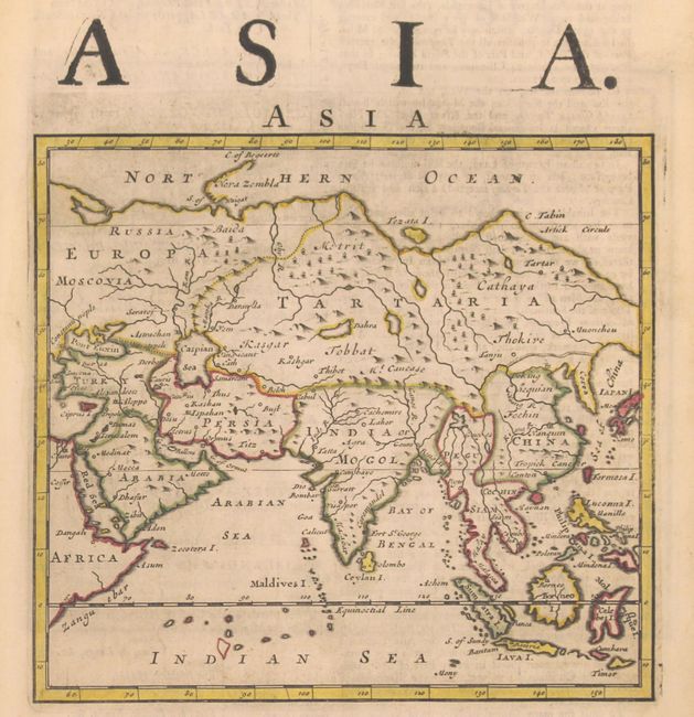
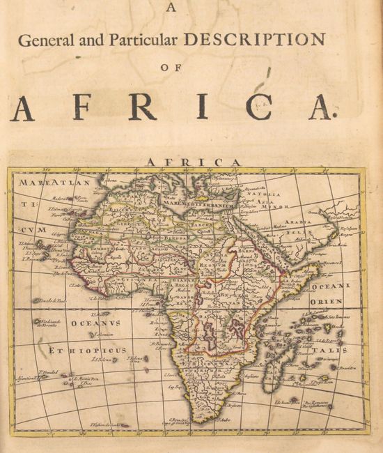
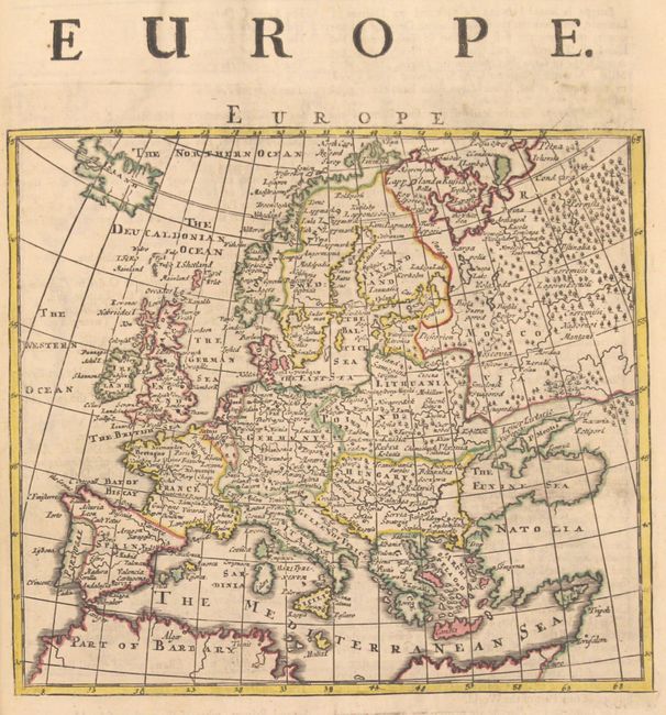
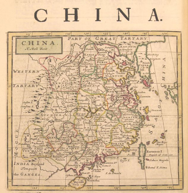
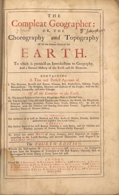
This is the fourth edition of Moll's Compleat Geographer and contains a total of 42 maps interspersed within the text, most with attractive outline color (all but the Americas). There are two volumes within the atlas: volume one (402 pp.) is focused on Europe and contains 20 maps including a world map featuring the island of California, Europe, Britain, Italy and Russia to name a few. The second volume (288 pp.) includes 9 maps of Asia, 4 of Africa, 4 of North America and 5 of South America.
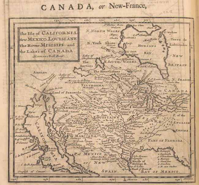
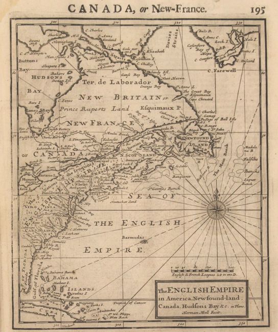
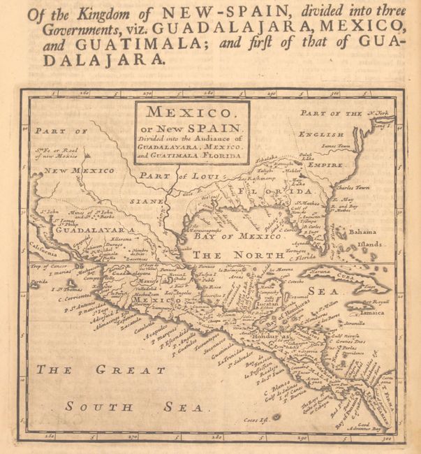
Of particular importance is The Isle of California. New Mexico. Louisiane. The River Misisipi. And the Lakes's of Canada which prominently features the island of California and the western part of North America and combines a vast amount of information and quite a bit of misinformation. Just north of California are The North Straits that separate the island from Agubela de Cato and the Land of Panimaha. Further north lies the Straits of Annian and the partial coastline of Annian. Four major rivers flow west into the Gulf of California with The 7 Cittys near the mouth of the Coral R., just west of Acoma. Conibas Lake forms the source of the North or Bravo R. (Rio Grande), which correctly empties into the Gulf of Mexico. Much of the map appears to have been derived from Hennepin, but it contains vastly more detail and the locations of numerous Indian villages, including the Missourits on the bank of what would become the Missouri River. In Canada, the Mission des Recolets is located just south of the Lake of Assinibouels, and is noted as ye Farthermost in ye whole Country. The other maps related to North America include The English Empire in America... which covers the entire eastern seaboard from Florida north to Newfoundland; Mexico, or New Spain. Divided into the Audiance of Guadalayara, Mexico, and Guatimala, Florida, and America which depicts the entire Western Hemisphere.
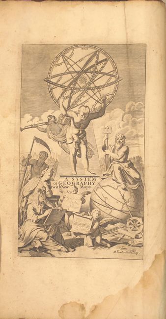
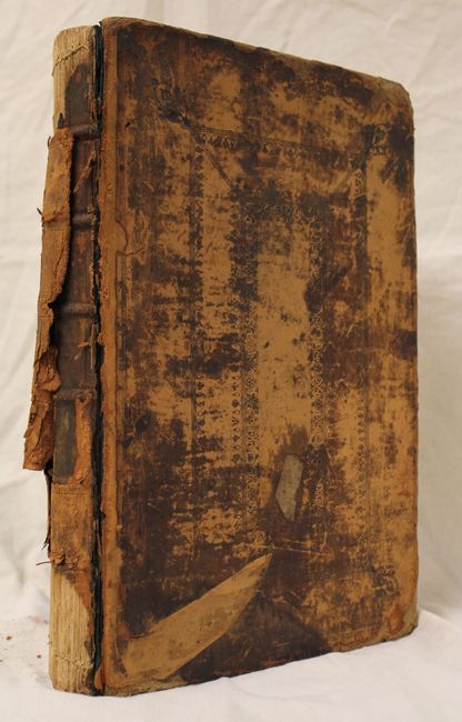
Contents include frontis, title page, advertisement, table of contents, index, introduction (51 pp.) and main text (690 pp.). Folio, hardbound in original leather with raised bands on spine.
References: McCorkle #293; Shirley (BL Atlases) #T.Moll-1e; McLaughlin #143 & 144; Wheat (TMW) #81 & #109.
Condition: B
The maps range from good to near fine with some offsetting and light text show-through in the image on some. There is a damp stain at the top and bottom of the gutter throughout that does not impact any of the map images. Covers are very worn and detached and the spine has perished, resulting in the text block being separated into two sections. Given the complete map count, this atlas would benefit from professional rebinding.