Subject: Japan
Period: 1715 (published)
Publication:
Color: Black & White
Size:
17.5 x 11.8 inches
44.5 x 30 cm
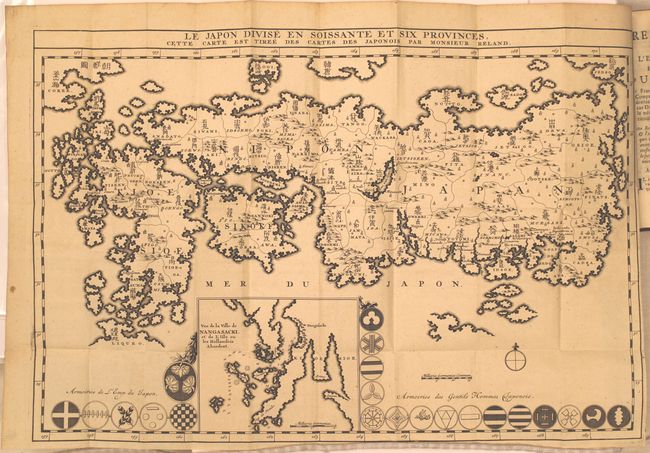
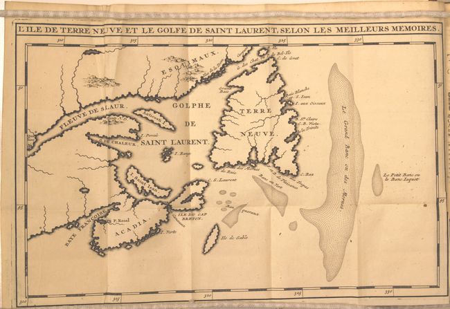
This first edition map of Japan shows the 66 provinces with both Roman and Sino-Japanese names. It is the first Western-produced map using Japanese cartography and ignoring the prior European use of fictitious names. The inset map of Nagasaki "Vue de la Ville de Nangasacki..." is at lower center and is surrounded by 21 Armories of the Emperor and his shoguns. The map is bound into the original and complete Recueil de Voyages au Nord, Contenant divers Memoires tres utiles au Commerce & a la Navigation. Tome Troisieme.. by Jean Frederic Bernard (4 x 6.8"). This edition also includes a second map, L'ile de Terre Neuve et le Golfe de Saint Laurent, Selon les Meilleurs Memoires (12.5 x 8") which shows the Gulf of Saint Lawrence bounded by Nova Scotia and Newfoundland and also depicts the Grand Banks.
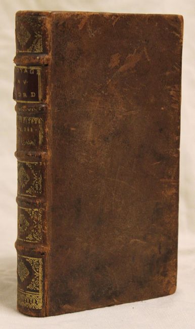
In original full leather with raised and gilt spine, red fore-edges, title page in red & black with engraved "A Limmorta-Lite", 340 pp., and two folding maps.
References: Walter OAG #66.
Condition: A
The maps are in near fine condition with only a hint of toning along the edges of the sheet and minor misfolding of the Canadian map. Contents are fine, and the original binding is very good with light shelf wear.