"Carte des Declinaisons et Inclinaisons de l'Aiguille Aimantee Redigee d'Apres la Table des Observations Magnetiques Faites par les Voyageurs Depuis l'Annee 1775", Buffon, Comte de
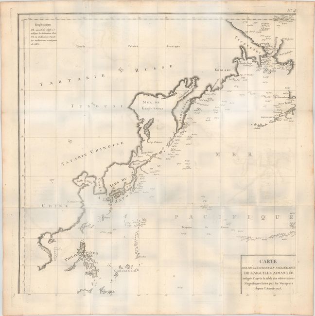
Subject: Eastern Asia, Pacific Ocean
Period: 1780 (circa)
Publication: Naturelle Histoire des Mineraux
Color: Black & White
Size:
22.3 x 22.3 inches
56.6 x 56.6 cm
This chart is sheet number 4 from a series of 8 maps and covers the Pacific Ocean from the Phillipines north to Korea, Japan and a portion of Alaska. The ocean is filled with magnetic readings from various explorers after 1775 with particular emphasis along the coast of Japan, Kamtchatka and the Bering Strait. Published in Buffon's Histoire Naturelle Histoire des Mineraux. Please see for the map of western North America from this same set that could be joined to form a larger map depicting the entire northern Pacific Ocean.
References:
Condition: B+
Issued folding on heavy, watermarked paper with light offsetting. Please note that the blue hue in the image is caused by our scanner and not in the physical map.