Catalog Archive
Auction 147, Lot 418
"A New Map of the Western Isles of Scotland, Drawn from the Latest & Best Authorities [on sheet with] A New & Correct Map of the Counties of Argyle, Bute, and Dumbarton, Drawn from the Latest & Best Authorities", Conder, Thomas
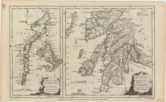
Subject: Western Scotland
Period: 1790 (circa)
Publication:
Color: Black & White
Size:
13.2 x 8.4 inches
33.5 x 21.3 cm
Download High Resolution Image
(or just click on image to launch the Zoom viewer)
(or just click on image to launch the Zoom viewer)