Catalog Archive
Auction 147, Lot 397

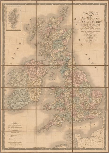
"Carte Generale des Iles Britanniques Contenant l'Angleterre l'Ecosse et l'Irlande", Andriveau-Goujon, J.

Subject: Britain

Period: 1842 (dated)

Publication:

Color: Hand Color

Size:
24.3 x 34.1 inches
61.7 x 86.6 cm
Download High Resolution Image
(or just click on image to launch the Zoom viewer)

A large, detailed 19th century map of the British Isles with information on towns, political boundaries, roads, railroads, canals, rivers and the topography of the land. An inset at top left shows the Shetland Islands. Surrounded by a decorative keyboard-style border. Dissected and mounted on linen with a printed paper label on verso.

References:

Condition: B

Moderate toning and soiling with a few small separations in linen at fold intersections.

Estimate: $100 - $140

Sold for: $50

Closed on 11/20/2013

Archived