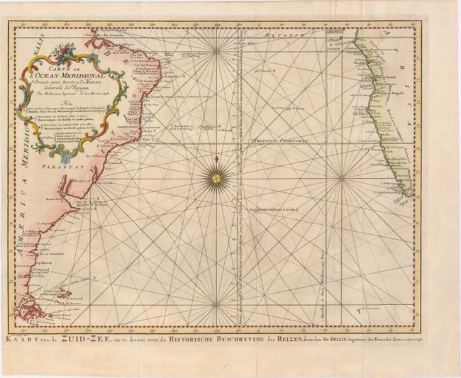
"Carte de l'Ocean Meridional Dressee pour Servir a l'Histoire Generale des Voyages...", Bellin/Van Schley
Subject: South Atlantic Ocean
Period: 1746 (dated)
Publication: L'Histoire Generale des Voyages
Color: Hand Color
Size:
17.7 x 13.4 inches
45 x 34 cm
This attractive chart of the South Atlantic is centered on a large compass rose with rhumb lines radiating across the ocean. A good portion of the coastlines of South America and Africa are shown with major port cities named. The Prime Meridian is shown through l'Isle de Fer and the Meridian of Paris is shown just west of the coast of Africa. A large rococo title cartouche graces the otherwise blank interior of South America. Dutch title below map: "Kaart van de Zuid-Zee, om te Dienen Voor de Historische Beschryving der Reizen."
References:
Condition: A
A fine impression with attractive color on watermarked paper. Issued folding, now pressed with minor printer's ink residue, just a hint of toning, and one tiny fold separation.