Catalog Archive
Auction 147, Lot 351

"A Map of Peru and the West Part of the Country of the Amazones", Moll, Herman

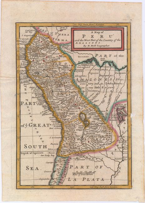
Subject: Western South America

Period: 1720 (circa)

Publication:

Color: Hand Color

Size:
7.1 x 10.2 inches
18 x 25.9 cm
Download High Resolution Image
(or just click on image to launch the Zoom viewer)

This small map covers present-day Ecuador, Peru, Bolivia and western Brazil. The mythical lake Xarayes is shown at right and the interior has a note describing that the "Country and its Inhabitans are very little known." Gold mines are located along the Amazon River and The Inca Way is shown from la Plata in Peru to Pasto in Colombia. Decorated by a simple block style title cartouche.

References:

Condition: B

Issued folding with a small unrepaired hole and edge tear along the right neatline that has been closed on verso with archival tape. There is a small remnant of non-archival tape on verso confined to the top blank margin.

Estimate: $100 - $130

Sold for: $50

Closed on 11/20/2013

Archived