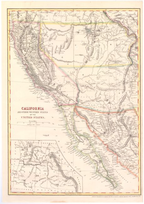
Subject: Western United States & Mexico
Period: 1866 (published)
Publication: Cassel’s Complete Atlas
Color: Hand Color
Size:
12 x 16.8 inches
30.5 x 42.7 cm
This interesting map of the West shows some early state configurations and also names a Gadsden Territory. Arizona, Nevada, Idaho and Wyoming are all named, however their borders are not fully defined. In Arizona, Tuscon is also given an alternate spelling of Tueson. Gadsden Ter. is also called Primeria Alta, and occupies the area south of the Gila River. There is great detail of Indian tribes, topography, towns, forts, and roads, with particularly good detail throughout California. An inset at bottom shows Washington, Oregon and Idaho. This map is based on a similar map published by Weekly Dispatch, but with numerous updates. Published by Cassell, Petter, and Galpin.
References:
Condition: A
A faint horizontal crease and one insignificant spot.


