Catalog Archive
Auction 147, Lot 237

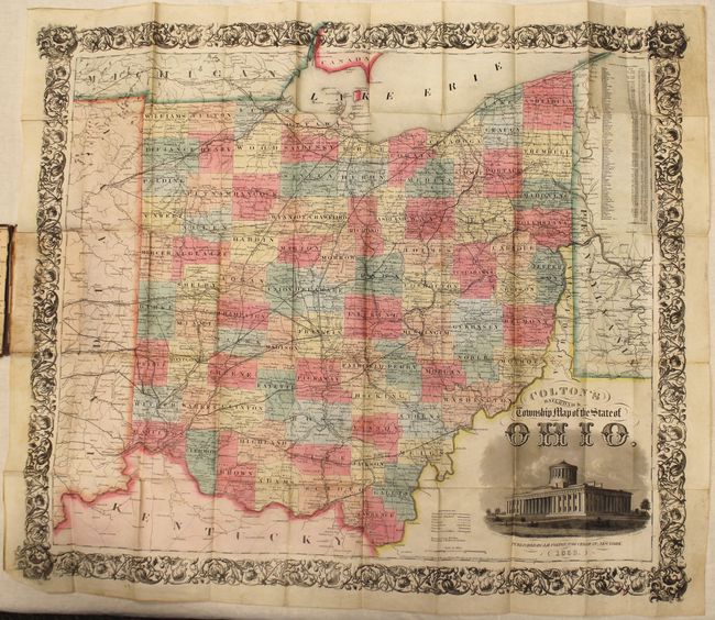
"Colton's Railroad & Township Map of the State of Ohio", Colton, Joseph Hutchins

Subject: Ohio

Period: 1853 (dated)

Publication:

Color: Hand Color

Size:
28.8 x 24 inches
73.2 x 61 cm
Download High Resolution Image
(or just click on image to launch the Zoom viewer)

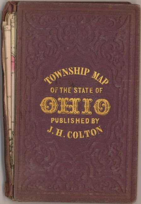
This attractive map of Ohio is surrounded by Colton's decorative border and a vignette of the State Capitol at lower right. Counties are delineated in full hand color with towns, cities, railroads and canals depicted. A table at right shows county population growing from 1.5 million in 1840 to nearly 2 million in 1850. Folds into brown gilt-stamped cloth covers.

References:

Condition: B

Issued folding with a few minor spots, short splits at fold intersections, and minor soiling primarily confined to the blank margins. Front cover is nearly separated.

Estimate: $275 - $350

Sold for: $140

Closed on 11/20/2013

Archived