Catalog Archive
Auction 147, Lot 190

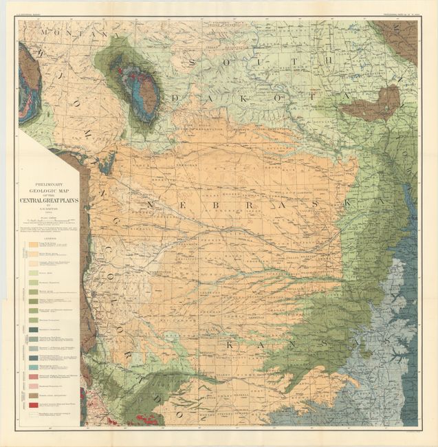
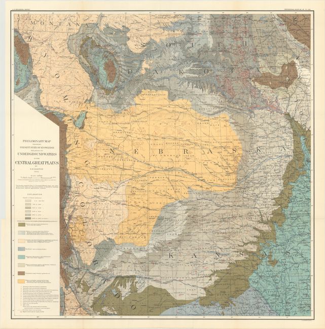
"[Lot of 2] Preliminary Map Showing Present State of Knowledge Relating to Underground Waters in the Central Great Plains [and] Preliminary Geologic Map of the Central Great Plains", Bien, Julius

Subject: Western United States

Period: 1904 (dated)

Publication:

Color: Printed Color

Size:
30 x 30.3 inches
76.2 x 77 cm
Download High Resolution Image
(or just click on image to launch the Zoom viewer)

A. Preliminary Map Showing Present State of Knowledge Relating to Underground Waters in the Central Great Plains. This attractive map of western Nebraska and Colorado and parts of bordering states shows considerable detail. Topography and hydrography are well developed. Several railway lines are identified. Eight geologic units are indicated by color.

B. Preliminary Geologic Map of the Central Great Plains. Same geography as above in vivid color with eighteen geologic units shown. Drawn by N.H. Darton.

References:

Condition: A

Issued folding.

Estimate: $100 - $130

Sold for: $70

Closed on 11/20/2013

Archived